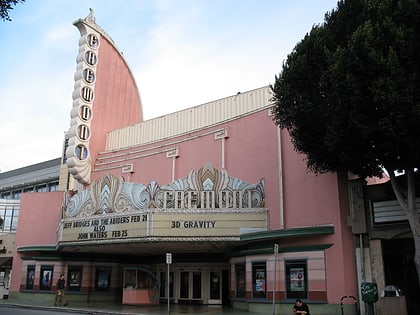
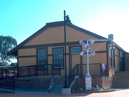
City of San Luis Obispo Historic Resources, San Luis Obispo
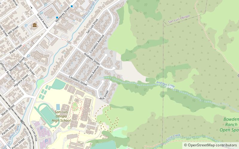
Map
Facts and practical information
The City of San Luis Obispo Historic Resources consists of buildings and sites designated by the City of San Luis Obispo, California, as historic resources. ()
Coordinates: 35°17'9"N, 120°38'48"W
Address
San Luis DriveSan Luis Obispo
ContactAdd
Social media
Add
Day trips
City of San Luis Obispo Historic Resources – popular in the area (distance from the attraction)
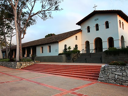
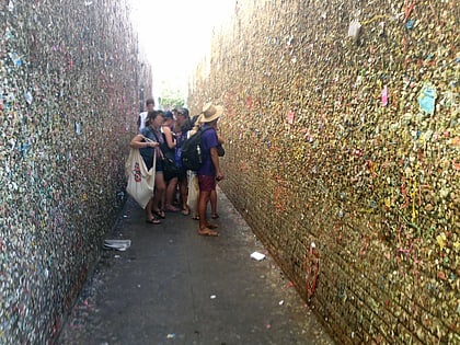
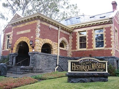
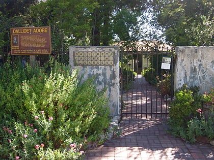
Nearby attractions include: Mission San Luis Obispo de Tolosa, Bubblegum Alley, San Luis Obispo Museum of Art, Dallidet Adobe.
Frequently Asked Questions (FAQ)
Which popular attractions are close to City of San Luis Obispo Historic Resources?
Nearby attractions include William Shipsey House, San Luis Obispo (4 min walk), Art Central, San Luis Obispo (16 min walk), Anam-Cre Pottery, San Luis Obispo (17 min walk), Dallidet Adobe, San Luis Obispo (18 min walk).
How to get to City of San Luis Obispo Historic Resources by public transport?
The nearest stations to City of San Luis Obispo Historic Resources:
Bus
Train
Bus
- Johnson at Lizzie • Lines: 1A (15 min walk)
- Marsh at Johnson • Lines: 1A (16 min walk)
Train
- San Luis Obispo (21 min walk)
