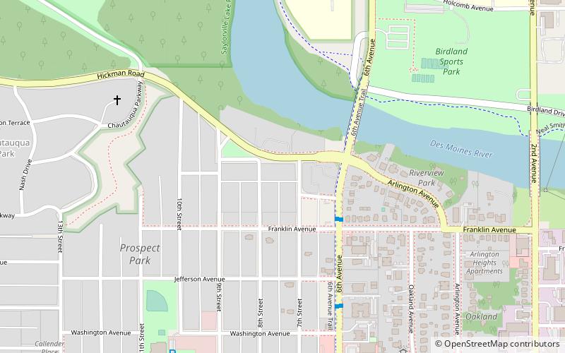
Prospect Park Second Plat Historic District, Des Moines
Map

Map

Facts and practical information
The Prospect Park Second Plat Historic District is a nationally recognized historic district located in the north-central section of Des Moines, Iowa, United States. The residential area contained middle to upper class housing that was developed in the late 19th and early 20th centuries in the suburb of North Des Moines. It has been listed on the National Register of Historic Places since 1998. It is part of the Towards a Greater Des Moines MPS. ()
Coordinates: 41°36'45"N, 93°37'39"W
Address
River BendDes Moines
ContactAdd
Social media
Add
Day trips
Prospect Park Second Plat Historic District – popular in the area (distance from the attraction)
Nearby attractions include: Trinity United Methodist Church, Perry and Brainard Block, Chautauqua Park Historic District, Ayrshire Apartments.
Frequently Asked Questions (FAQ)
Which popular attractions are close to Prospect Park Second Plat Historic District?
Nearby attractions include Chaffee-Hunter House, Des Moines (3 min walk), Lowry W. and Hattie N. Goode First North Des Moines House, Des Moines (4 min walk), Ayrshire Apartments, Des Moines (5 min walk), Dr. John B. and Anna M. Hatton House, Des Moines (5 min walk).
How to get to Prospect Park Second Plat Historic District by public transport?
The nearest stations to Prospect Park Second Plat Historic District:
Bus
Bus
- 6th Ave & Franklin Ave • Lines: 15 (3 min walk)


