Presidio Terrace, San Francisco
Map
Gallery
Facts and practical information
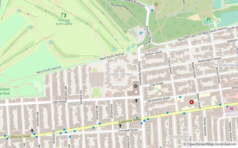
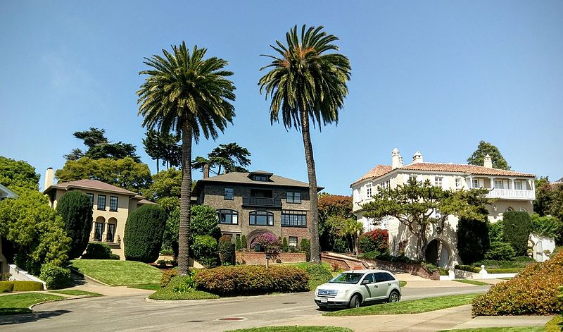
Presidio Terrace is a small, extremely affluent neighborhood in San Francisco that was the first of the master-planned communities built in the western part of the city. It consists of 36 large lots laid out around a single privately owned street, also called Presidio Terrace, which takes the form of a two-way access street leading to a one-way elliptical cul-de-sac. Access is off Arguello Boulevard. ()
Coordinates: 37°47'18"N, 122°27'39"W
Address
Northwest San Francisco (Presidio Terrace)San Francisco
ContactAdd
Social media
Add
Day trips
Presidio Terrace – popular in the area (distance from the attraction)
Nearby attractions include: Palace of Fine Arts, Conservatory of Flowers, Green Apple Books, Presidio of San Francisco.
Frequently Asked Questions (FAQ)
Which popular attractions are close to Presidio Terrace?
Nearby attractions include Congregation Emanu-El, San Francisco (2 min walk), St. John's Presbyterian Church, San Francisco (3 min walk), Koshland House, San Francisco (10 min walk), Mountain Lake Park, San Francisco (12 min walk).
How to get to Presidio Terrace by public transport?
The nearest stations to Presidio Terrace:
Trolleybus
Bus
Trolleybus
- California Street & Arguello Boulevard • Lines: 1 (6 min walk)
- Arguello Boulevard & California Street • Lines: 33 (6 min walk)
Bus
- Inspiration Point • Lines: Ph (8 min walk)
- California Street & 6th Avenue • Lines: 28, 44 (8 min walk)

 Muni Metro

