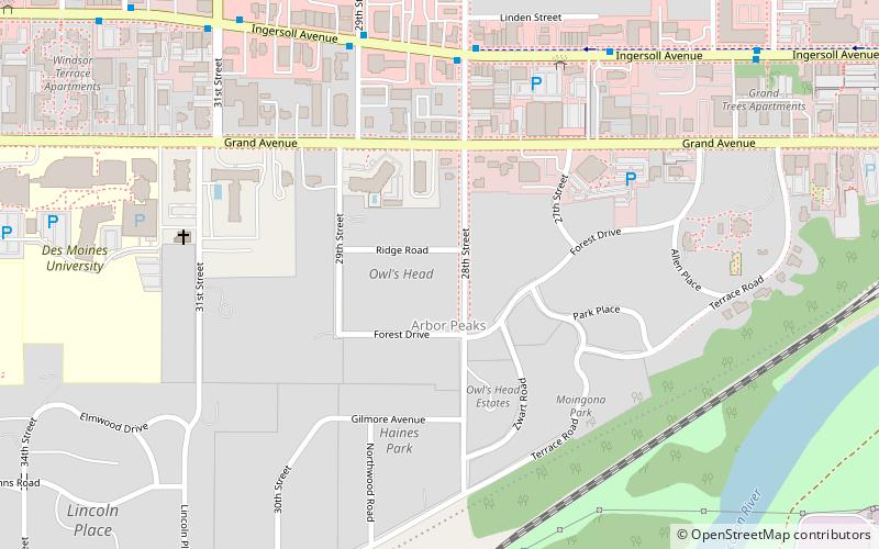
Owl's Head Historic District, Des Moines
Map
Facts and practical information
The Owl's Head Historic District is a residential area located on the west side of Des Moines, Iowa, United States. Among its 50 buildings is the former Iowa governor's mansion. The district has been listed on the National Register of Historic Places since 1978. ()
Coordinates: 41°34'57"N, 93°39'18"W
Address
Arbor PeakDes Moines
ContactAdd
Social media
Add
Getting there by public transportation
Public transportation stops near this location
- Bus
 Bus
Bus
- Calculate routeIngersoll Ave & 28th St 6 min walk
- Calculate route2610 Ingersoll Ave 7 min walk
Day trips


Frequently Asked Questions (FAQ)
Which popular attractions are close to Owl's Head Historic District?
Nearby attractions include Tandem Brick Gallery, Des Moines (6 min walk), Albert Baird Cummins House, Des Moines (7 min walk), Moberg Gallery, Des Moines (8 min walk), Terrace Hill, Des Moines (8 min walk).
How to get to Owl's Head Historic District by public transport?
The nearest stations to Owl's Head Historic District:
Bus
Bus
- Ingersoll Ave & 28th St • Lines: 60 (6 min walk)
- 2610 Ingersoll Ave • Lines: 60 (7 min walk)