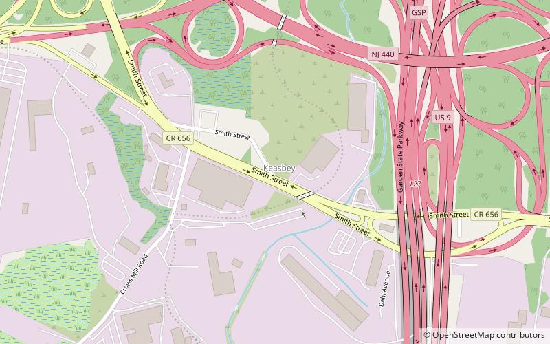
Keasbey, Woodbridge
Map
Facts and practical information
Keasbey is an unincorporated community located within Woodbridge Township in Middlesex County, New Jersey, United States. It is located on the western outskirts of Perth Amboy. Through its proximity to Perth Amboy, and through natural outflow, attraction, and migration, Keasbey is also home to many Hispanic or Latino families. ()
Coordinates: 40°30'60"N, 74°18'19"W
Address
Woodbridge
ContactAdd
Social media
Add
Getting there by public transportation
Public transportation stops near this location
- Bus
 Bus
Bus
- Calculate routeNew Brunswick Avenue at Corrielle Street 24 min walk
- Calculate routeSmith St. at Herbert St. 29 min walk
Day trips


Frequently Asked Questions (FAQ)
How to get to Keasbey by public transport?
The nearest stations to Keasbey:
Bus
Bus
- New Brunswick Avenue at Corrielle Street • Lines: 813 (24 min walk)
- Smith St. at Herbert St. • Lines: 815 (29 min walk)