East Phillips, Minneapolis
Facts and practical information
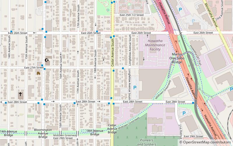
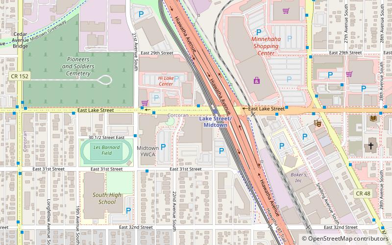
East Phillips is a neighborhood within the Phillips community in Minneapolis. Its northern boundary runs along East 24th Street from Bloomington Avenue to 17th Avenue South, then runs along East 22nd Street from 17th Avenue South to Little Earth Trail and Hiawatha Avenue. Its other boundaries are Hiawatha Avenue to the east, East Lake Street to the south, and Bloomington Avenue to the west. The Phillips community has only been subdivided into smaller neighborhoods within the last couple years; the boundaries of East Phillips were officially designated on December 23, 2005. As this change has been fairly recent, most residents still refer to the area as just "Phillips". The neighborhood also features the Little Earth residential community. ()
Phillips (East Phillips)Minneapolis
- Bus
- Light rail
 Bus
Bus
- Calculate routeLake Street/Midtown 14 min walk
- Calculate routeFranklin Avenue 17 min walk
- Calculate routeCedar-Riverside 27 min walk
- Calculate routeFranklin Station 16 min walk
- Calculate routeMinnehaha Av 17 min walk
- Calculate routeMinnehaha/Cedar 17 min walk
- Calculate route16 Av S 18 min walk


Frequently Asked Questions (FAQ)
Which popular attractions are close to East Phillips?
How to get to East Phillips by public transport?
Light rail
- Lake Street/Midtown • Lines: 901 (14 min walk)
- Franklin Avenue • Lines: 901 (17 min walk)
Bus
- Franklin Station • Lines: 2, 2A, 2C, 67, 67C (16 min walk)
- Minnehaha Av • Lines: 2A, 2C, 67 (17 min walk)