Yorba Hacienda, Yorba Linda
Map
Facts and practical information
The Yorba Hacienda was a domestic dwelling constructed by Bernardo Yorba on the Rancho Cañón de Santa Ana Mexican land grant, and located in the present city of Yorba Linda, California. It was notable as the seat of the wealthiest member of the Yorba family and as the largest adobe hacienda in Alta California. ()
Coordinates: 33°51'51"N, 117°46'48"W
Address
Anaheim HillsYorba Linda
ContactAdd
Social media
Add
Day trips
Yorba Hacienda – popular in the area (distance from the attraction)
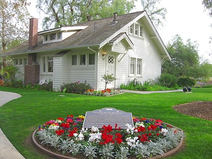
Nearby attractions include: Honda Center, Richard Nixon Presidential Library and Museum, Carbon Canyon Regional Park, The Village at Orange.


