Osceola Ditch, Great Basin National Park

Gallery (3)
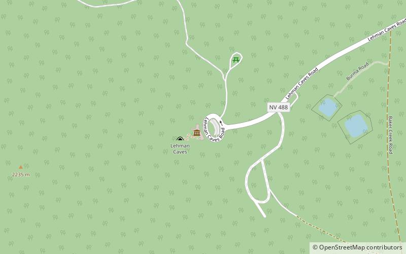
Map
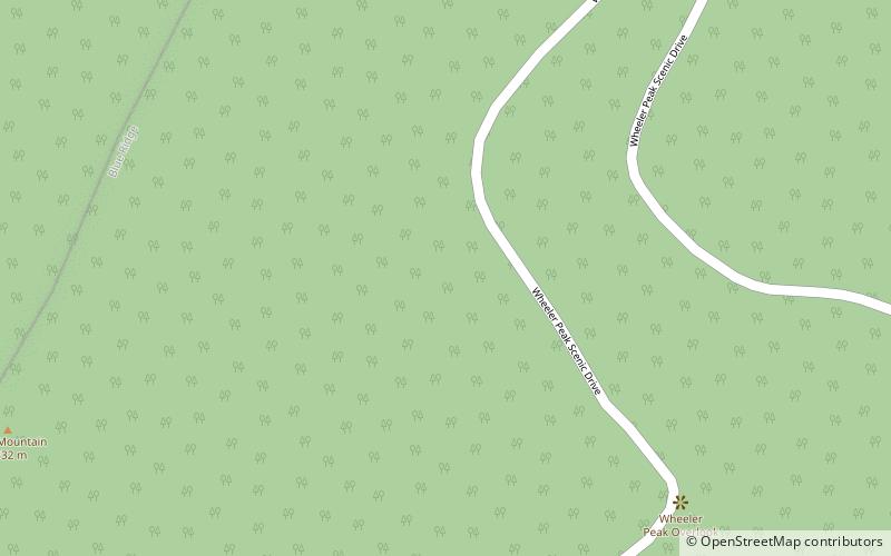
Map
Gallery
Facts and practical information
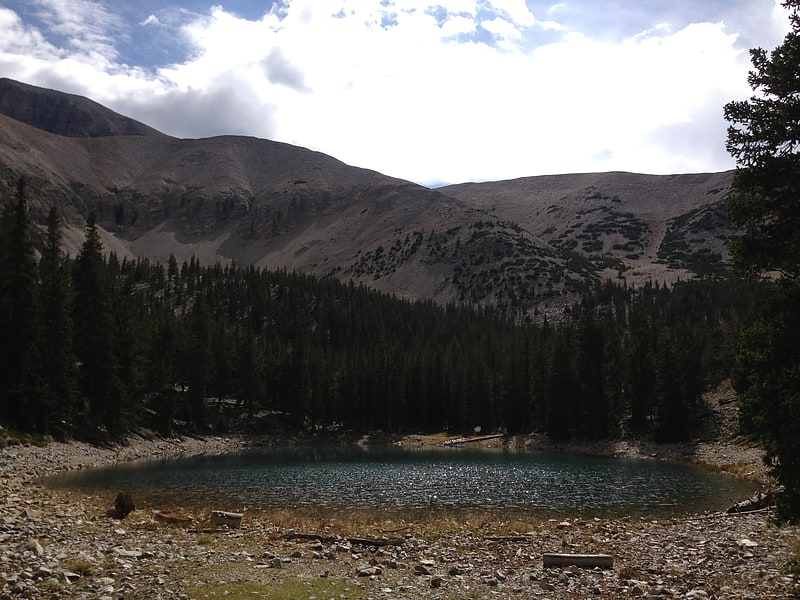
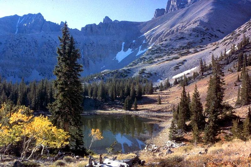
The Osceola Ditch, also known as the East Ditch, was built in 1889–1890 to convey water from Lehman Creek, Nevada to a hydraulic mine operation at Osceola. Extending for 18 mi, the ditch includes a 600 ft tunnel as well as wooden flumes. The project also includes a rock dam and headgate on Stella Lake. The ditch's terminus at Osceola, Nevada became disused during the early 1900s and was destroyed entirely by a fire in the 1940s. Much of the East Ditch is included within Great Basin National Park. ()
Built: 1890 (136 years ago)Coordinates: 39°1'48"N, 114°17'28"W
Address
Great Basin National Park
ContactAdd
Social media
Add
Day trips