Reymer Brothers Candy Factory, Pittsburgh
Map
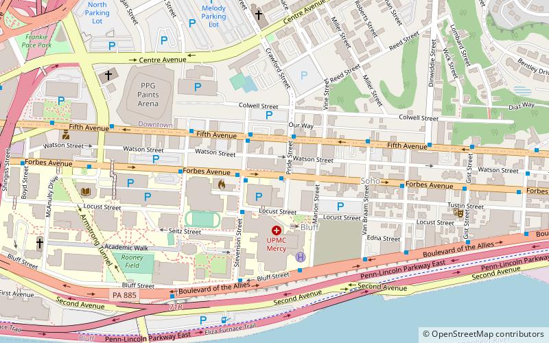
Map

Facts and practical information
The Reymer Brothers Candy Factory in the Bluff neighborhood of Pittsburgh, Pennsylvania, was built in 1906 in the Richardsonian Romanesque style. ()
Coordinates: 40°26'16"N, 79°59'8"W
Address
Central Pittsburgh (Bluff)Pittsburgh
ContactAdd
Social media
Add
Day trips
Reymer Brothers Candy Factory – popular in the area (distance from the attraction)
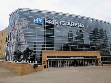
Nearby attractions include: PPG Paints Arena, Benedum Center, Warner Centre, August Wilson African American Cultural Center.
Frequently Asked Questions (FAQ)
Which popular attractions are close to Reymer Brothers Candy Factory?
Nearby attractions include Bluff, Pittsburgh (3 min walk), City View, Pittsburgh (5 min walk), St. Benedict the Moor Catholic Church, Pittsburgh (7 min walk), Gumberg Library, Pittsburgh (8 min walk).
How to get to Reymer Brothers Candy Factory by public transport?
The nearest stations to Reymer Brothers Candy Factory:
Light rail
Bus
Train
Light rail
- Steel Plaza • Lines: Blue, Red, Silver (14 min walk)
- First Avenue • Lines: Blue, Red, Silver (16 min walk)
Bus
- Penn Station (14 min walk)
- Penn Station D • Lines: 1, 71, Metro Commuter (15 min walk)
Train
- Pittsburgh Union Station (15 min walk)

