East Harrisburg, Harrisburg

Map
Facts and practical information
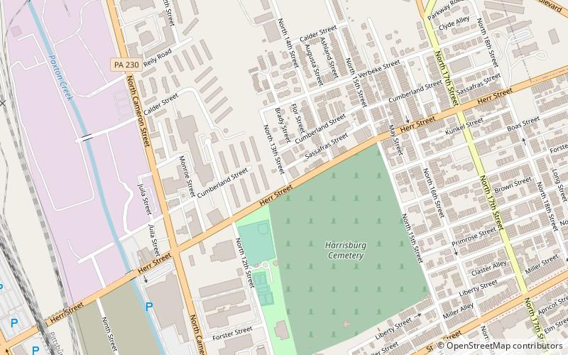
East Harrisburg is a district of neighborhoods in the eastern end of Harrisburg, Pennsylvania. Its southern border is formed by Interstate 83; eastern border is Paxtang along 29th Street; northern border is Market Street and the borough of Penbrook; western border is the Allison Hill neighborhood along 21st Street and including Bellevue Park. The historic former private Bishop McDevitt High School and current public John Harris High School are located in East Harrisburg. ()
Coordinates: 40°16'27"N, 76°52'27"W
Address
Allison HillHarrisburg
ContactAdd
Social media
Add
Day trips
East Harrisburg – popular in the area (distance from the attraction)
Nearby attractions include: Pennsylvania Farm Show, Pennsylvania State Capitol, Strawberry Square, Cathedral of Saint Patrick.
Frequently Asked Questions (FAQ)
Which popular attractions are close to East Harrisburg?
Nearby attractions include Harrisburg Cemetery, Harrisburg (3 min walk), Harrisburg Military Post, Harrisburg (9 min walk), State Street Bridge, Harrisburg (13 min walk), Italian Lake, Harrisburg (15 min walk).
How to get to East Harrisburg by public transport?
The nearest stations to East Harrisburg:
Bus
Train
Bus
- Harrisburg (22 min walk)
- FlixBus Harrisburg • Lines: 2680 (25 min walk)
Train
- Harrisburg (22 min walk)


