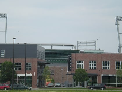
Florence Boulevard, Omaha
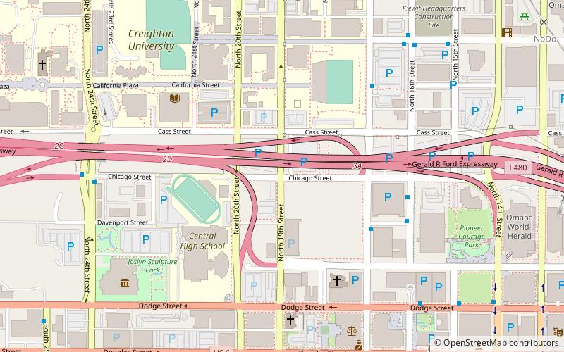
Map
Facts and practical information
Florence Boulevard, originally known as the Prettiest Mile in Omaha Boulevard, is a boulevard-type north-south street in the north Omaha, Nebraska. With the start of construction in 1892, Florence Boulevard was the first roadway in Omaha's boulevard system designed by Horace Cleveland. Florence Boulevard was the first roadway in Omaha to be fully lit with electric lamps. ()
Coordinates: 41°15'46"N, 95°56'28"W
Address
Downtown OmahaOmaha
ContactAdd
Social media
Add
Day trips
Florence Boulevard – popular in the area (distance from the attraction)
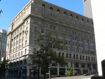
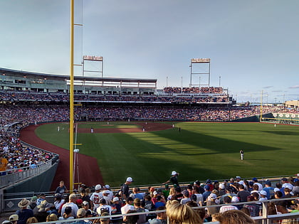
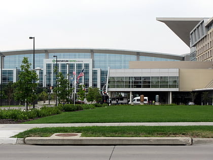
Nearby attractions include: J. L. Brandeis and Sons Store Building, TD Ameritrade Park Omaha, CenturyLink Center Omaha, Joslyn Art Museum.
Frequently Asked Questions (FAQ)
Which popular attractions are close to Florence Boulevard?
Nearby attractions include Trinity Cathedral, Omaha (5 min walk), Joslyn Art Museum, Omaha (8 min walk), Downtown Omaha, Omaha (8 min walk), First National Center, Omaha (9 min walk).
How to get to Florence Boulevard by public transport?
The nearest stations to Florence Boulevard:
Bus
Train
Bus
- 16th and Davenport • Lines: 95 (6 min walk)
- 14th & Douglas • Lines: 95 (12 min walk)
Train
- Omaha (29 min walk)
