Milwaukie City Hall, Milwaukie
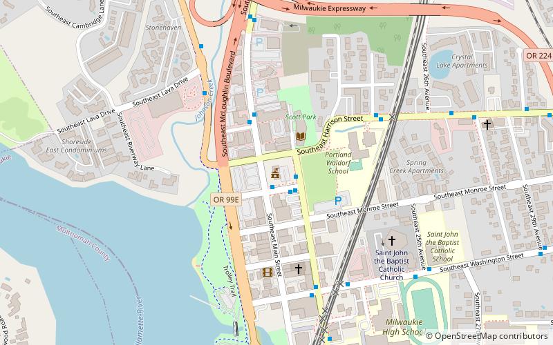
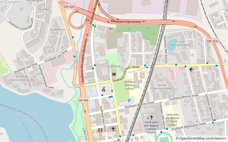
Map

Map

Facts and practical information
Milwaukie City Hall is a historic building and the city hall of Milwaukie, Oregon, United States. The building was built during 1937–1938 as a Public Works Administration project. ()
Coordinates: 45°26'43"N, 122°38'28"W
Address
10722 Southeast Main StreetHistoric MilwaukieMilwaukie
Contact
+1 503-786-7555
Social media
Add
Day trips
Milwaukie City Hall – popular in the area (distance from the attraction)
Nearby attractions include: Puppet Museum, Waverley Country Club, Tideman Johnson Natural Area, Kellogg Creek Bridge.
Frequently Asked Questions (FAQ)
Which popular attractions are close to Milwaukie City Hall?
Nearby attractions include Ledding Library of Milwaukie, Milwaukie (2 min walk), Ledding Library, Milwaukie (2 min walk), Milwaukie Riverfront Park, Milwaukie (4 min walk), Kellogg Creek Bridge, Milwaukie (7 min walk).


