Astor Street District, Chicago
Map
Map

Facts and practical information
The Astor Street District is a historic district in Central Chicago, Illinois. ()
Coordinates: 41°54'25"N, 87°37'41"W
Address
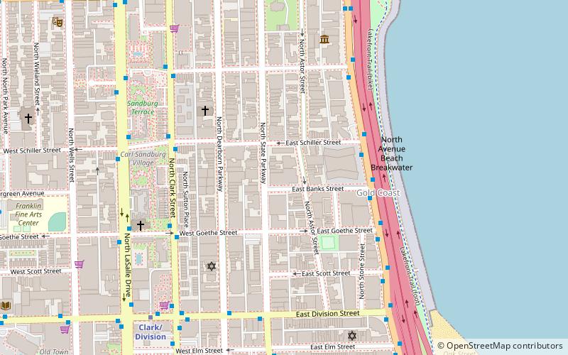
Astor St, between Division and NorthDowntown (Near North Side)Chicago
ContactAdd
Social media
Add
Day trips
Astor Street District – popular in the area (distance from the attraction)
Nearby attractions include: Chicago History Museum, Oak Street, First Saint Paul's Evangelical Lutheran Church, Mariano Park.
Frequently Asked Questions (FAQ)
Which popular attractions are close to Astor Street District?
Nearby attractions include James Charnley House, Chicago (2 min walk), Gold Coast, Chicago (4 min walk), Seven Houses on Lake Shore Drive District, Chicago (5 min walk), Madlener House, Chicago (5 min walk).
How to get to Astor Street District by public transport?
The nearest stations to Astor Street District:
Bus
Metro
Bus
- Lake Shore Drive & Schiller SB • Lines: 151 (4 min walk)
Metro
- Clark/Division • Lines: Red (7 min walk)
- Sedgwick • Lines: Brown, Purple (16 min walk)

 Rail "L"
