Downtown Rochester, Rochester
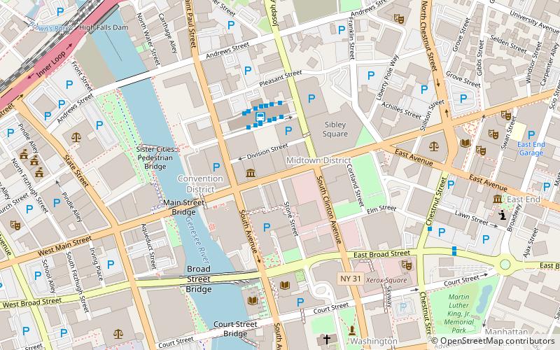
Map
Facts and practical information
Downtown Rochester is the economic center of Rochester, New York, and the largest in Upstate New York, employing more than 50,000 people, and housing more than 6,000. ()
Coordinates: 43°9'25"N, 77°36'27"W
Getting there by public transportation
Public transportation stops near this location
- Bus
- Train
 Bus
Bus
- Calculate routeRTS Transit Center 3 min walk
- Calculate routeFlixBus Rochester 8 min walk
- Calculate routeBus Terminal 10 min walk
- Calculate routeRochester 12 min walk
Day trips
Downtown Rochester – popular in the area (distance from the attraction)
Nearby attractions include: Memorial Art Gallery, Frontier Field, Blue Cross Arena, Sibley's.


Frequently Asked Questions (FAQ)
Which popular attractions are close to Downtown Rochester?
Nearby attractions include Empire Theatre, Rochester (3 min walk), Granite Building, Rochester (3 min walk), Midtown EATS, Rochester (3 min walk), Main Street Bridge, Rochester (5 min walk).
How to get to Downtown Rochester by public transport?
The nearest stations to Downtown Rochester:
Bus
Train
Bus
- RTS Transit Center (3 min walk)
- FlixBus Rochester • Lines: 2686 (8 min walk)
Train
- Rochester (12 min walk)