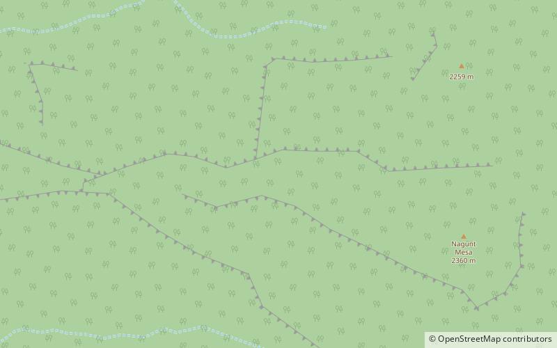
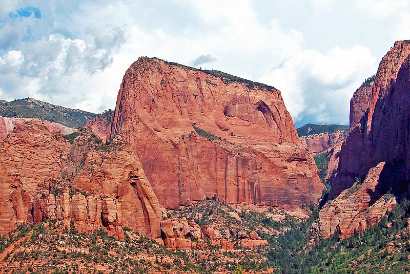
Nagunt Mesa, Red Butte Wilderness

Gallery (3)
Map
Map
Gallery
Facts and practical information
Nagunt Mesa is a 7,785-foot mountain summit located in the Kolob Canyons area of Zion National Park in Washington County, Utah, United States. ()
Coordinates: 37°26'27"N, 113°10'10"W
Address
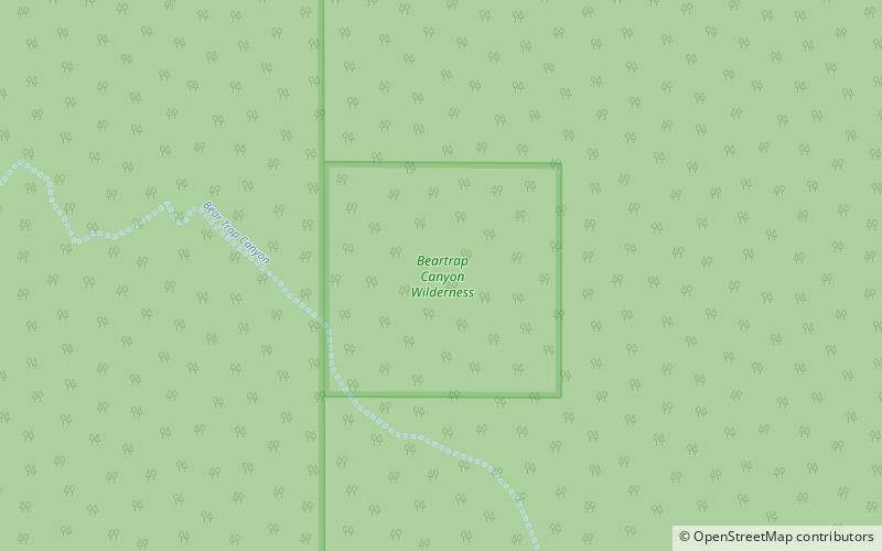
Red Butte Wilderness
ContactAdd
Social media
Add
Day trips