Fairfield Avenue Historic District, Hartford
Map

Map

Facts and practical information
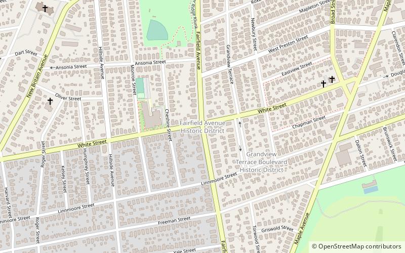
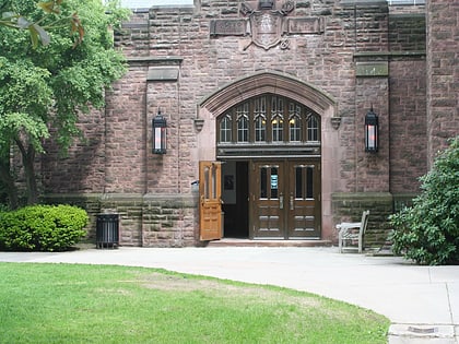
The Fairfield Avenue Historic District encompasses most of a portion of Fairfield Avenue in southern Hartford, Connecticut. Extending from Trinity College in the north to Cedar Hill Cemetery in the south, the streetscape typifies the city's development between about 1890 and 1930, a period of growth along the road fueled by the rise of streetcars. The district was listed on the National Register of Historic Places in 1984. ()
Area: 42.8 acres (0.0669 mi²)Coordinates: 41°44'6"N, 72°41'34"W
Address
South EndHartford
ContactAdd
Social media
Add
Day trips
Fairfield Avenue Historic District – popular in the area (distance from the attraction)
Nearby attractions include: Trinity College Chapel, Cedar Hill Cemetery, Cinestudio, Trinity College.
Frequently Asked Questions (FAQ)
Which popular attractions are close to Fairfield Avenue Historic District?
Nearby attractions include Grandview Terrace Boulevard, Hartford (4 min walk), Northam Memorial Chapel and Gallup Memorial Gateway, Hartford (15 min walk), St. Augustine Parish, Hartford (20 min walk), Trinity College, Hartford (22 min walk).
How to get to Fairfield Avenue Historic District by public transport?
The nearest stations to Fairfield Avenue Historic District:
Bus
Bus
- Kane Street Station (36 min walk)


