Big Prairie, Polebridge

Map
Facts and practical information
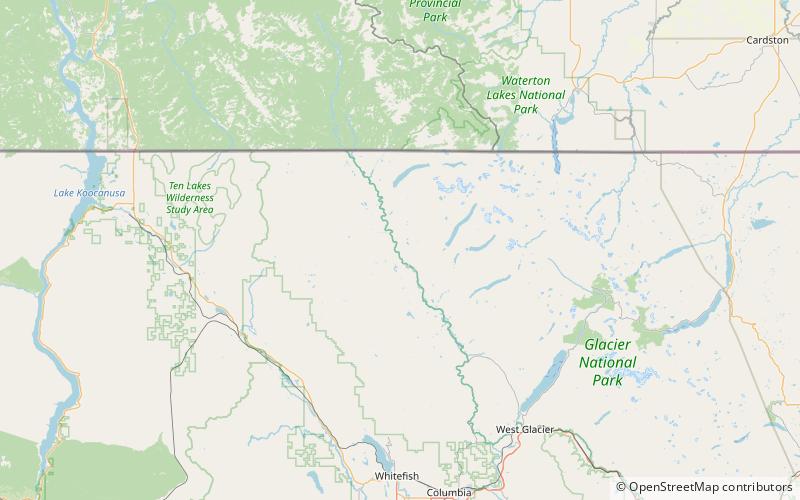
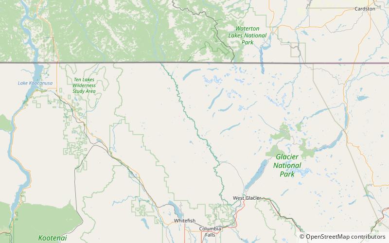
Big Prairie, Montana, el. 3,625 feet, is an open meadow area on the east side of the North Fork of the Flathead River, in Glacier National Park and is a former settlement. It is within Flathead County, Montana. It was settled by at least 19 homesteads in the early 20th century. ()
Coordinates: 48°49'17"N, 114°19'38"W
Address
Polebridge
ContactAdd
Social media
Add
Day trips
Big Prairie – popular in the area (distance from the attraction)
Nearby attractions include: Polebridge Ranger Station Historic District.
