South Central, Wichita
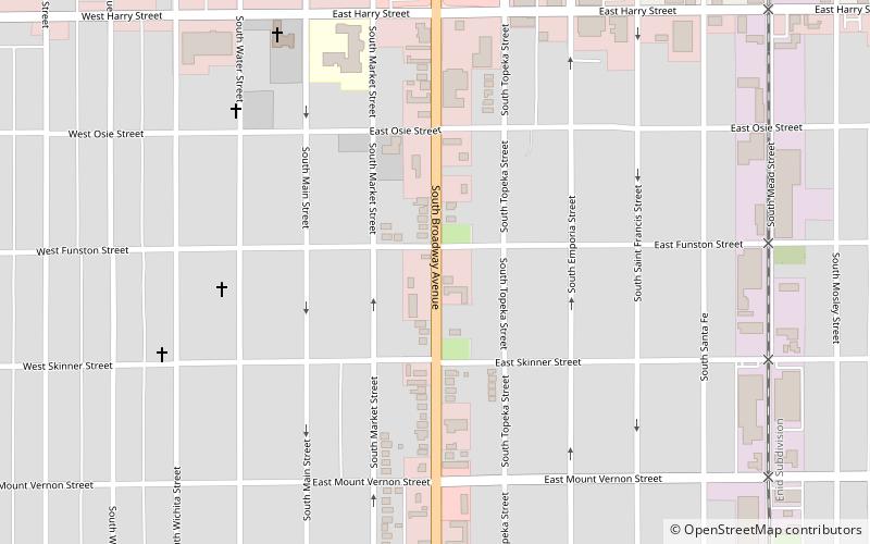
Map
Facts and practical information
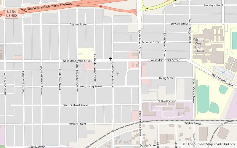
South Central is a neighborhood in Wichita, Kansas, United States. A mixed commercial and residential area on the east bank of the Arkansas River, it is among the city’s oldest neighborhoods. ()
Coordinates: 37°39'37"N, 97°20'8"W
Address
South CentralWichita
ContactAdd
Social media
Add
Day trips
South Central – popular in the area (distance from the attraction)
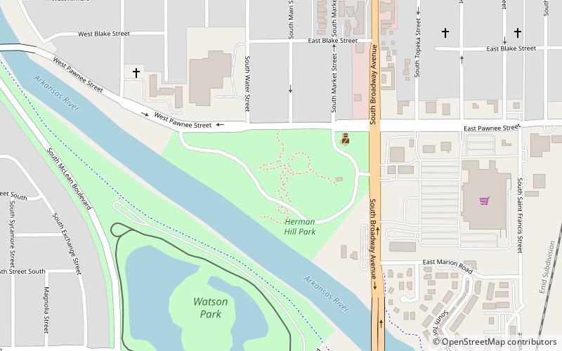
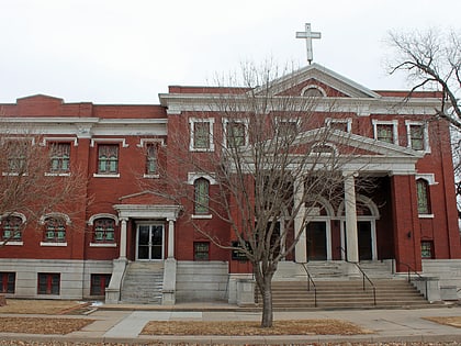
Nearby attractions include: Herman Hill Park, Grace Methodist Episcopal Church, Kansas Firefighters Museum, OJ Watson Park.
Frequently Asked Questions (FAQ)
Which popular attractions are close to South Central?
Nearby attractions include Kansas Firefighters Museum, Wichita (17 min walk), Herman Hill Park, Wichita (22 min walk).
