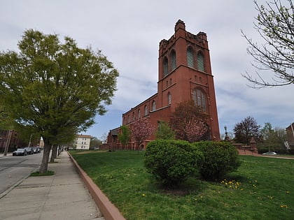
South Elmwood, Providence
Map
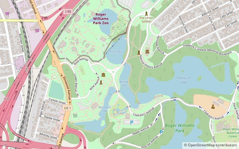
Map

Facts and practical information
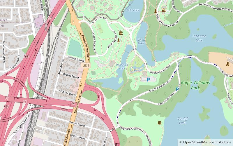
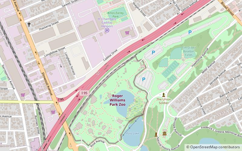
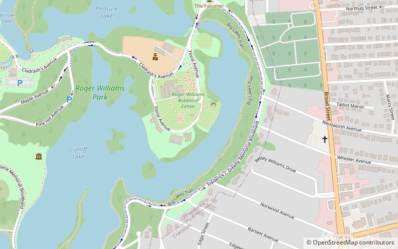
South Elmwood is the southernmost neighborhood in Providence, Rhode Island, and is home to Roger Williams Park and the Roger Williams Park Zoo. The neighborhood is bounded to the northwest by Interstate 95, to the northeast by Broad Street and Verndale Avenue, and on all other sides by the municipal boundary with Cranston. The population of the neighborhood, as of 2000, was 2,184. ()
Coordinates: 41°47'8"N, 71°24'55"W
Address
South ElmwoodProvidence
ContactAdd
Social media
Add
Day trips
South Elmwood – popular in the area (distance from the attraction)
Nearby attractions include: Roger Williams Park, Roger Williams Park Zoo, Roosevelt Lake, The Zoo In Forest Park.
Frequently Asked Questions (FAQ)
Which popular attractions are close to South Elmwood?
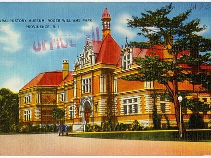
Nearby attractions include Roger Williams Park Museum of Natural History and Planetarium, Providence (4 min walk), Roosevelt Lake, Providence (5 min walk), Roger Williams Park Zoo, Providence (6 min walk), Roger Williams Park Botanical Center, Providence (6 min walk).
How to get to South Elmwood by public transport?
The nearest stations to South Elmwood:
Bus
Bus
- Pontiac and Richfield • Lines: 21 (22 min walk)
- Elmwood at Job Lot • Lines: 20 (29 min walk)


