Triangle District, Oklahoma City
Map
Facts and practical information
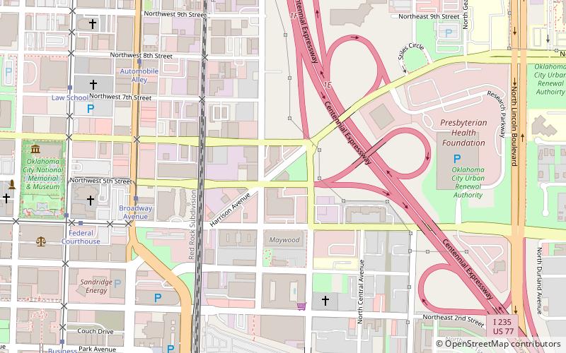
The Flatiron District in Oklahoma City is so named because several buildings in the district were built in a flatiron architectural style due to Harrison Avenue diagonally intersecting the east-west and north-south streets of the district. The district is bounded by N.E. 4th St on the south, Interstate-235 on the east, the Santa Fe Railroad on the west and N.E. 9th St on the north. Like much of downtown Oklahoma City, the district was blighted for decades until the downtown renaissance began in the 1990s. Since then the district has seen numerous developments and is closely tied to the revitalization of both Deep Deuce and Automobile Alley. ()
Coordinates: 35°28'23"N, 97°30'35"W
Address
Central Oklahoma City (Downtown Oklahoma City)Oklahoma City
ContactAdd
Social media
Add
Getting there by public transportation
Public transportation stops near this location
- Bus
- Tram
- Train
 Bus
Bus
- Calculate routeBroadway Avenue 7 min walk
- Calculate routeAutomobile Alley 9 min walk
- Calculate routeFederal Courthouse 10 min walk
- Calculate routeMemorial Museum 10 min walk
- Calculate routeOklahoma City 15 min walk
- Calculate routeThe Central Oklahoma Transportation and Parking Authority City Bus Terminal 15 min walk
Day trips


Frequently Asked Questions (FAQ)
Which popular attractions are close to Triangle District?
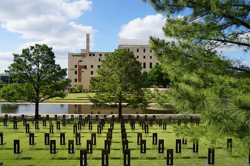
Nearby attractions include Calvary Baptist Church, Oklahoma City (7 min walk), St. Paul's Cathedral, Oklahoma City (10 min walk), Red Earth Art Center, Oklahoma City (10 min walk), Oklahoma City National Memorial & Museum, Oklahoma City (10 min walk).
How to get to Triangle District by public transport?
The nearest stations to Triangle District:
Tram
Train
Bus
Tram
- Broadway Avenue • Lines: OKC Streetcar Downtown Loop (7 min walk)
- Automobile Alley • Lines: OKC Streetcar Downtown Loop (9 min walk)
Train
- Oklahoma City (15 min walk)
Bus
- The Central Oklahoma Transportation and Parking Authority City Bus Terminal (15 min walk)