Pomeroy Terrace Historic District, Northampton
Map
Map

Facts and practical information
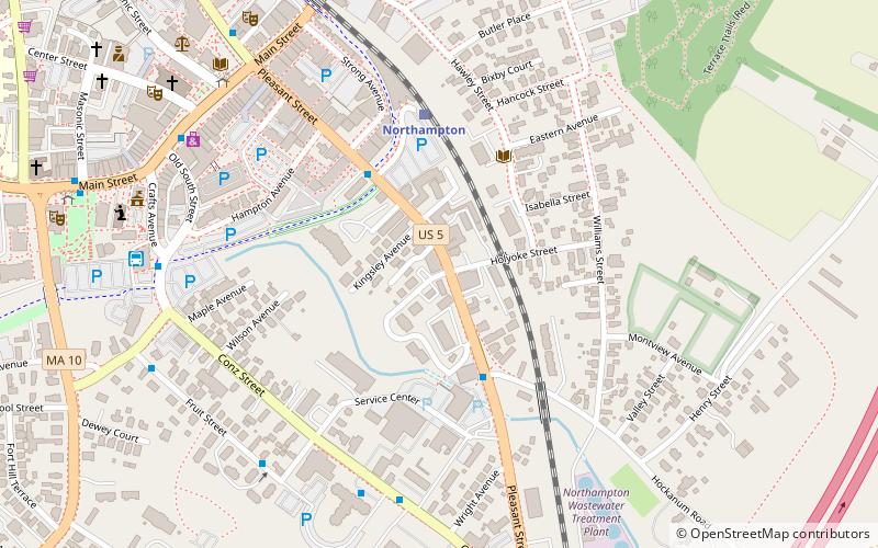
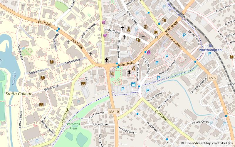
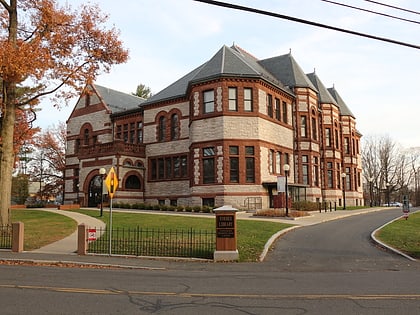
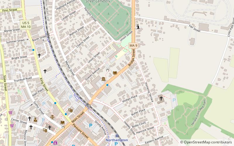
The Pomeroy Terrace Historic District is a historic district on the east side of downtown Northampton, Massachusetts. Located south of Bridge Street east of the main railroad right-of-way, it was one of the city's most desirable residential neighborhoods of the 19th century, retaining many fine examples of residential architecture from that period. It was listed on the National Register of Historic Places in 2018. ()
Coordinates: 42°19'20"N, 72°37'35"W
Address
Northampton
ContactAdd
Social media
Add
Day trips
Pomeroy Terrace Historic District – popular in the area (distance from the attraction)
Nearby attractions include: Iron Horse Music Hall, Norwottuck Branch Rail Trail, The Botanic Garden of Smith College, Smith College Museum of Art.
Frequently Asked Questions (FAQ)
Which popular attractions are close to Pomeroy Terrace Historic District?
Nearby attractions include Historic Northampton, Northampton (1 min walk), Northampton Downtown Historic District, Northampton (5 min walk), William Baczek Fine Arts, Northampton (6 min walk), Pearl Street, Northampton (6 min walk).
How to get to Pomeroy Terrace Historic District by public transport?
The nearest stations to Pomeroy Terrace Historic District:
Train
Bus
Train
- Northampton (6 min walk)
Bus
- Peter Pan (13 min walk)


