The Gulch, Nashville
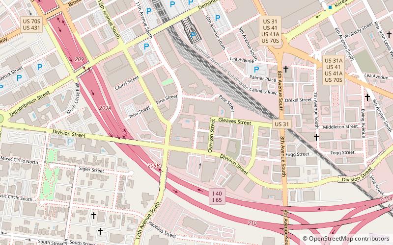
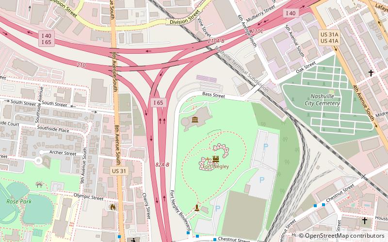
Map
Facts and practical information
The Gulch is a neighborhood on the south fringe of downtown Nashville, Tennessee, near Interstate 40, Interstate 65 and Interstate 24. It is known to be a trendy and hip neighborhood, and a popular destination for locals, college students, and visitors. ()
Coordinates: 36°9'7"N, 86°46'59"W
Address
SoBroNashville
ContactAdd
Social media
Add
Day trips
The Gulch – popular in the area (distance from the attraction)
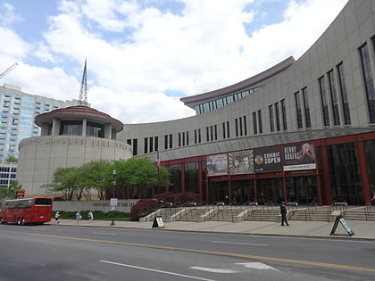
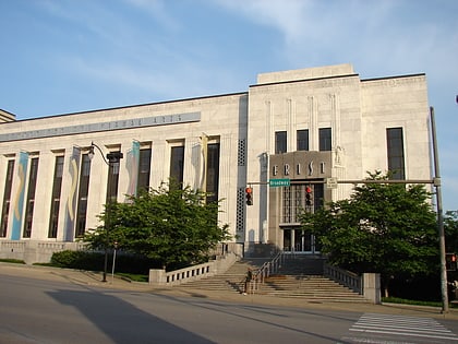
Nearby attractions include: Country Music Hall of Fame and Museum, Frist Center for the Visual Arts, Ryman Auditorium, Bridgestone Arena.
Frequently Asked Questions (FAQ)
Which popular attractions are close to The Gulch?
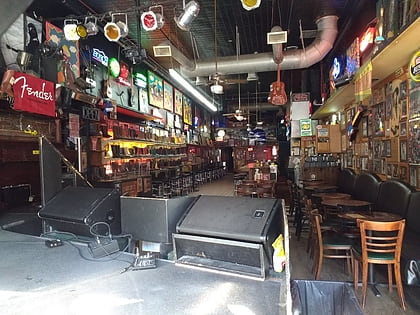
Nearby attractions include Station Inn, Nashville (3 min walk), Cummins Station, Nashville (6 min walk), Stix, Nashville (8 min walk), Frist Center for the Visual Arts, Nashville (10 min walk).
How to get to The Gulch by public transport?
The nearest stations to The Gulch:
Bus
Train
Bus
- 8th Avenue South & Demonbreun Street Northbound • Lines: 18 (10 min walk)
- Korean Veterans Boulevard & 6th Avenue Westbound • Lines: 18 (11 min walk)
Train
- Riverfront (23 min walk)
