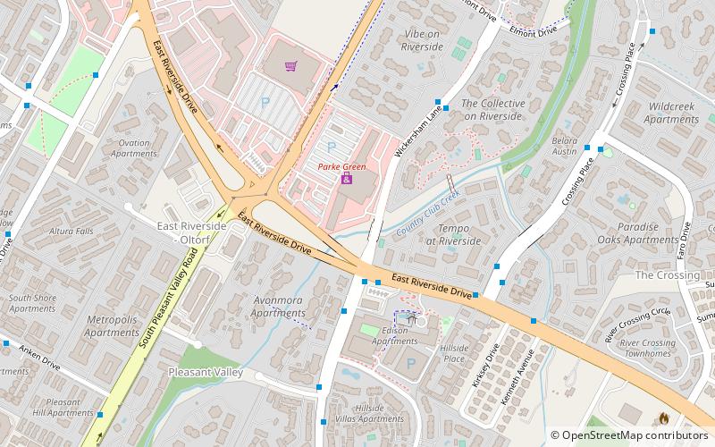
East Riverside-Oltorf, Austin

Map
Facts and practical information
East Riverside-Oltorf is a neighborhood in Austin, Texas, located southeast of the city's urban core. The East Riverside, Parker Lane, and Pleasant Valley neighborhoods together form the East Riverside-Oltorf Combined Neighborhood Planning Area. The region is bounded on the north by Lake Lady Bird, to the east by Grove Boulevard and the Montopolis neighborhood, Texas State Highway 71 to the south, and Interstate 35 and South River City to the west. ()
Coordinates: 30°14'0"N, 97°43'14"W
Address
East Austin (Pleasant Valley)Austin
ContactAdd
Social media
Add
Day trips
East Riverside-Oltorf – popular in the area (distance from the attraction)
Nearby attractions include: Lady Bird Lake, Riverside Golf Course, Friends of Norwood Dog Park, Longhorn Dam.
Frequently Asked Questions (FAQ)
How to get to East Riverside-Oltorf by public transport?
The nearest stations to East Riverside-Oltorf:
Bus
Bus
- 1900 Crossing Place/Riverside • Lines: 670 (6 min walk)
- 1602 Wickersham • Lines: 671, 680 (6 min walk)


