Park Slope Historic District, Sea Gate
Map
Gallery
Facts and practical information
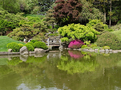
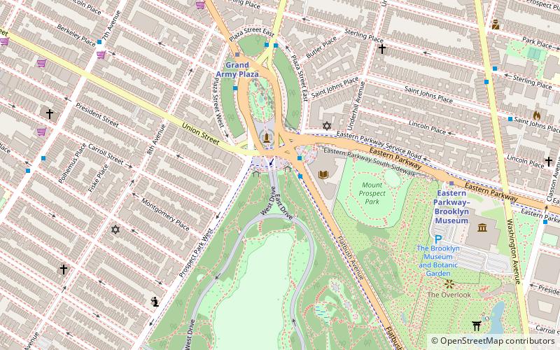
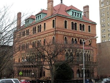
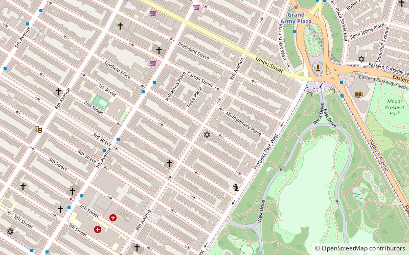
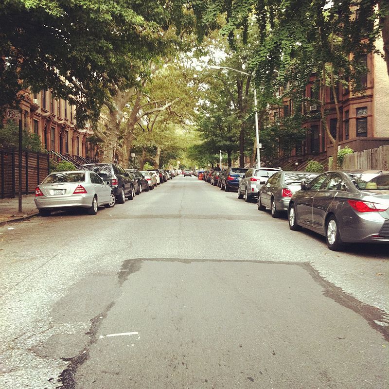
Park Slope Historic District is a national historic district in Park Slope, Brooklyn, New York, New York. It consists of 1,802 contributing buildings built between 1862 and about 1920. The 40-block district is almost exclusively residential and located adjacent to Prospect Park. It includes a variety of two and three story townhouses built in a variety of popular architectural styles of the late-19th and early 20th centuries. It was listed on the National Register of Historic Places in 1980. ()
Coordinates: 40°40'16"N, 73°58'29"W
Day trips
Park Slope Historic District – popular in the area (distance from the attraction)
Nearby attractions include: Brooklyn Museum, Brooklyn Botanic Garden, Statue of James S. T. Stranahan, Mount Prospect Park.
Frequently Asked Questions (FAQ)
Which popular attractions are close to Park Slope Historic District?
Nearby attractions include Congregation Beth Elohim, New York City (1 min walk), Old First Reformed Church, Sea Gate (6 min walk), 47 Plaza Street West, Sea Gate (6 min walk), Statue of James S. T. Stranahan, Sea Gate (8 min walk).
How to get to Park Slope Historic District by public transport?
The nearest stations to Park Slope Historic District:
Metro
Bus
Train
Metro
- Grand Army Plaza • Lines: 2, 3, 4 (10 min walk)
- 7th Avenue • Lines: <F>, B, F, G, Q (12 min walk)
Bus
- 9th Street & 8th Avenue • Lines: B61 (12 min walk)
- Prospect Park West & Bartel Pritchard Square • Lines: B61 (19 min walk)
Train
- Atlantic Terminal (25 min walk)


