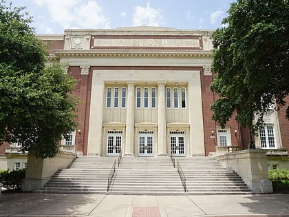
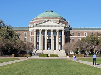
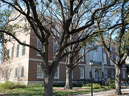
University Meadows, Dallas
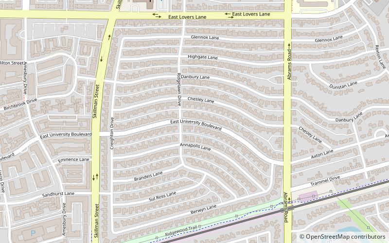
Map
Facts and practical information
University Meadows is a residential neighborhood in eastern Dallas, Texas. It is adjacent to several East Dallas neighborhoods including: Ridgewood Park and Caruth Terrace. ()
Coordinates: 32°50'49"N, 96°45'25"W
Address
Northeast Dallas (University Meadows)Dallas
ContactAdd
Social media
Add
Day trips
University Meadows – popular in the area (distance from the attraction)
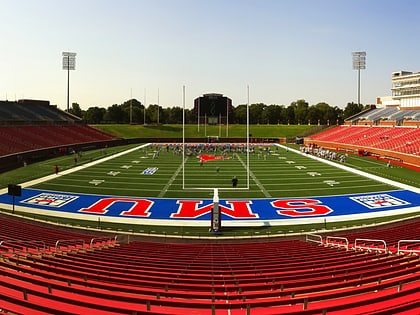
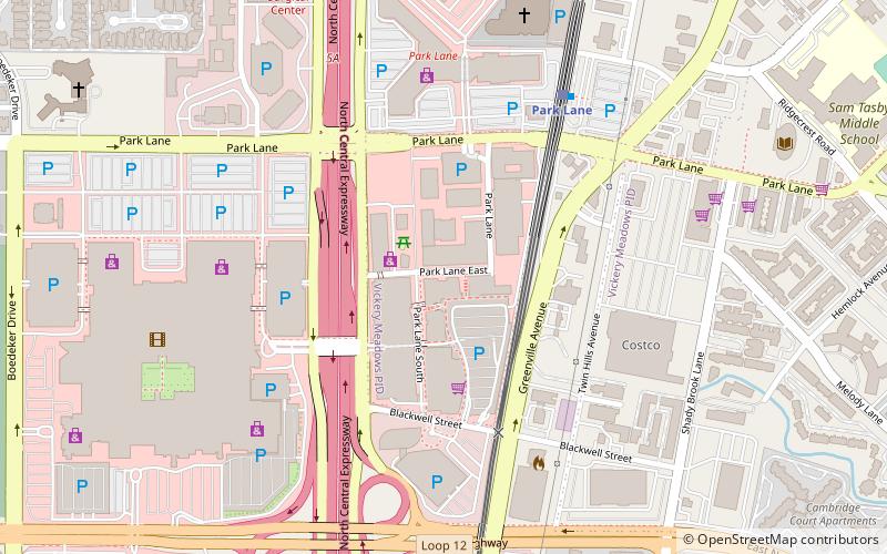
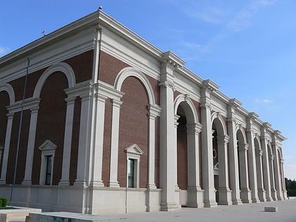
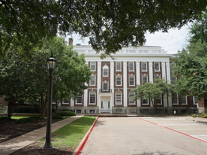
Nearby attractions include: Gerald J. Ford Stadium, The Shops at Park Lane, Meadows Museum, Granada Theater.
Frequently Asked Questions (FAQ)
How to get to University Meadows by public transport?
The nearest stations to University Meadows:
Light rail
Light rail
- Lovers Lane • Lines: Orange, Red (22 min walk)
- Mockingbird • Lines: Blue, Orange, Red (32 min walk)
