Clintonville, Columbus
Map

Gallery

Facts and practical information
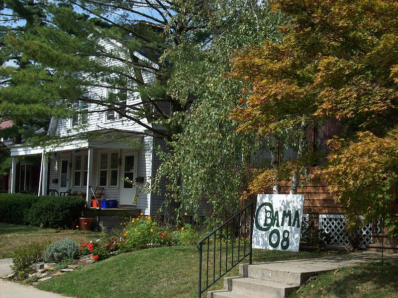
Clintonville is a neighborhood in north-central Columbus, Ohio, United States with around 30,000 residents. Its borders, associated with the Clintonville Area Commission, are the Olentangy River on the west, Glen Echo Creek to the south, a set of railroad tracks to the east, and on the north by the Worthington city limits. ()
Coordinates: 40°2'30"N, 83°1'0"W
Address
Clintonville (Central Clintonville)Columbus
ContactAdd
Social media
Add
Day trips
Clintonville – popular in the area (distance from the attraction)
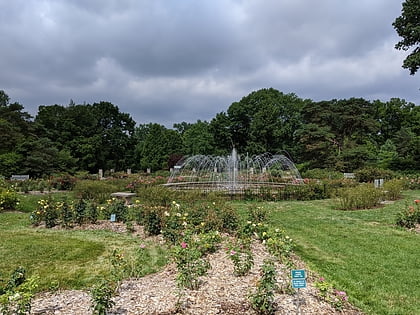
Nearby attractions include: Park of Roses, Richard Berry Jr. House, Olentangy West, East North Broadway Historic District.
Frequently Asked Questions (FAQ)
Which popular attractions are close to Clintonville?
Nearby attractions include Park of Roses, Columbus (14 min walk), Richard Berry Jr. House, Columbus (22 min walk), East North Broadway Historic District, Columbus (23 min walk).
How to get to Clintonville by public transport?
The nearest stations to Clintonville:
Bus
Bus
- N High St & Actham Rd • Lines: 102, 2 (3 min walk)


