Monroe District, Santa Rosa

Map
Facts and practical information
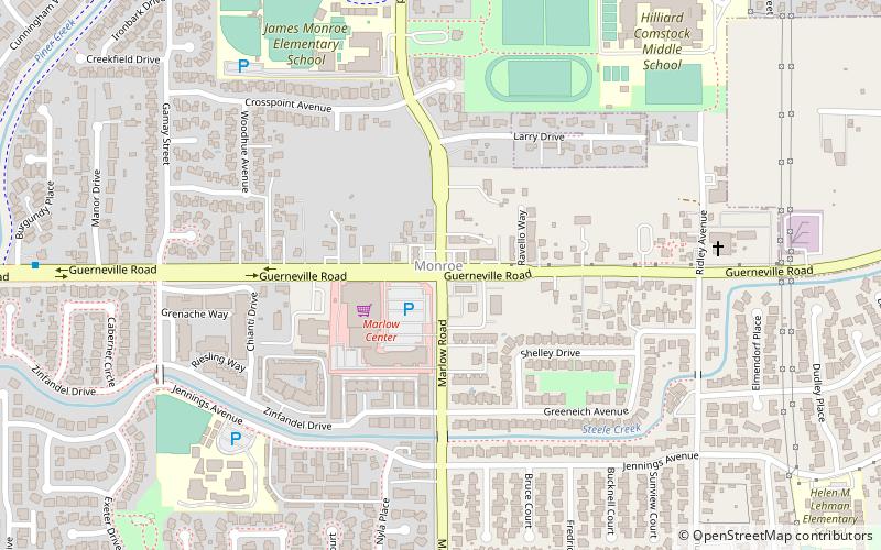
The Monroe District is an area in western Santa Rosa, California, which has been recognized since at least 1870. It was named for the Monroe family, early residents of the area. Some of the early homes were built of wood brought in by Jim McReynolds as early as 1854. ()
Coordinates: 38°27'9"N, 122°45'5"W
Address
Santa Rosa
ContactAdd
Social media
Add
Day trips
Monroe District – popular in the area (distance from the attraction)
Nearby attractions include: Redwood Empire Ice Arena, Charles M. Schulz Museum, Coddingtown Mall, Finley Park.
Frequently Asked Questions (FAQ)
How to get to Monroe District by public transport?
The nearest stations to Monroe District:
Bus
Train
Bus
- Westside Transfer Center (14 min walk)
- Coddingtown Transit Hub (28 min walk)
Train
- Santa Rosa North (22 min walk)


