Youngstown Foundation Amphitheatre, Youngstown
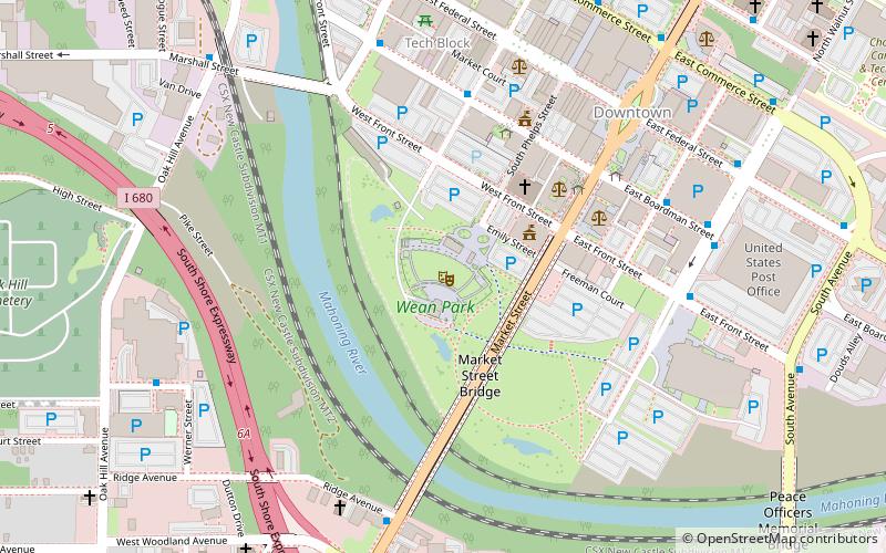
Map
Facts and practical information
The Youngstown Foundation Amphitheatre is an outdoor amphitheater in Youngstown, Ohio, United States. The venue holds approximately 4,800 fans. It is owned by the Youngstown Foundation and operated by JAC Management Group. ()
Coordinates: 41°5'52"N, 80°39'11"W
Address
Downtown YoungstownYoungstown
ContactAdd
Social media
Add
Getting there by public transportation
Public transportation stops near this location
- Bus
 Bus
Bus
- Calculate routeYoungstown Greyhound Station 9 min walk
- Calculate routeCommunity Bus Services 27 min walk
Day trips


Frequently Asked Questions (FAQ)
Which popular attractions are close to Youngstown Foundation Amphitheatre?
Nearby attractions include Downtown Youngstown, Youngstown (5 min walk), Oakland Center for the Arts, Youngstown (6 min walk), Metropolitan Tower, Youngstown (6 min walk), Wick Building, Youngstown (7 min walk).
How to get to Youngstown Foundation Amphitheatre by public transport?
The nearest stations to Youngstown Foundation Amphitheatre:
Bus
Bus
- Youngstown Greyhound Station • Lines: 0010, 0011 (9 min walk)
- Community Bus Services (27 min walk)