Trek Zone

Herkimer County High Point, West Canada Lake Wilderness Area

#6 among attractions in West Canada Lake Wilderness Area

Mountain
Herkimer County High Point location map
Map

Facts and practical information
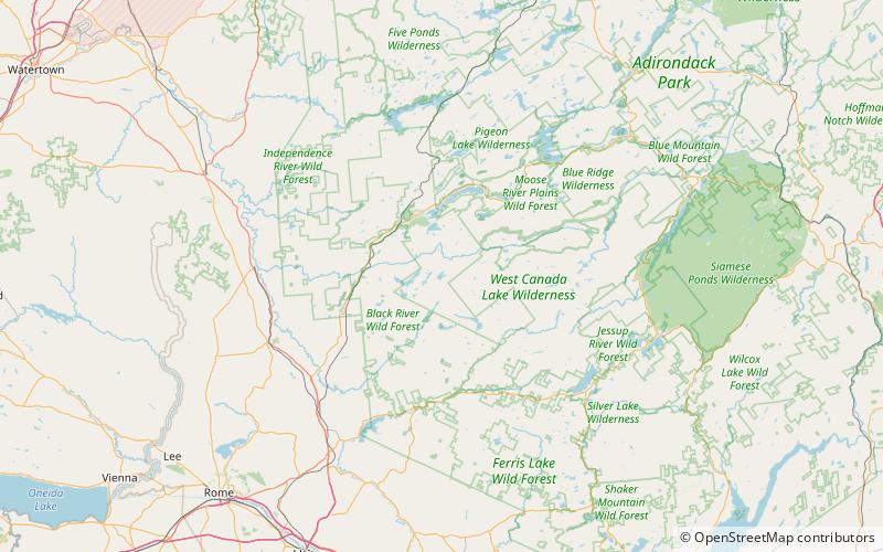
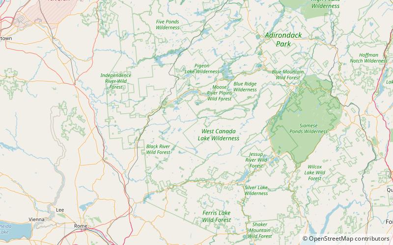
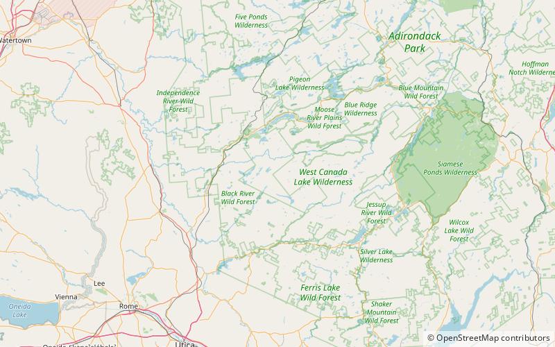
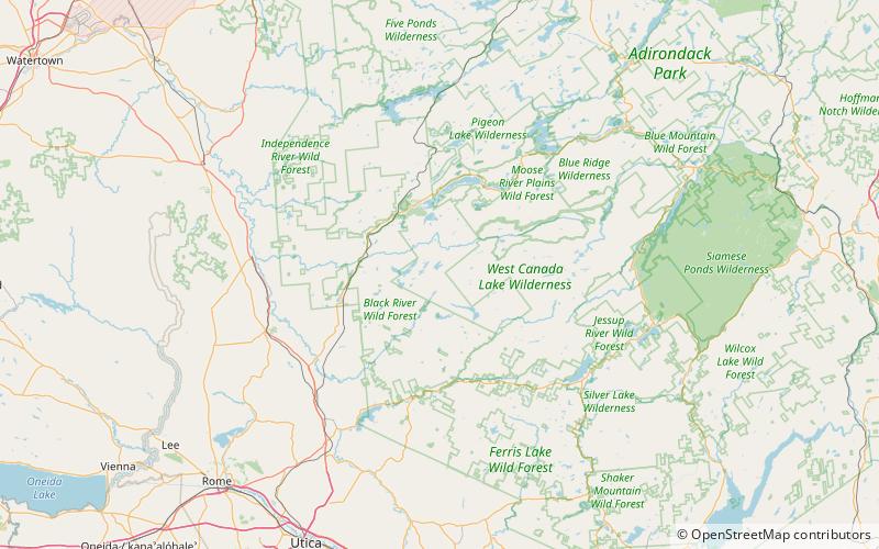
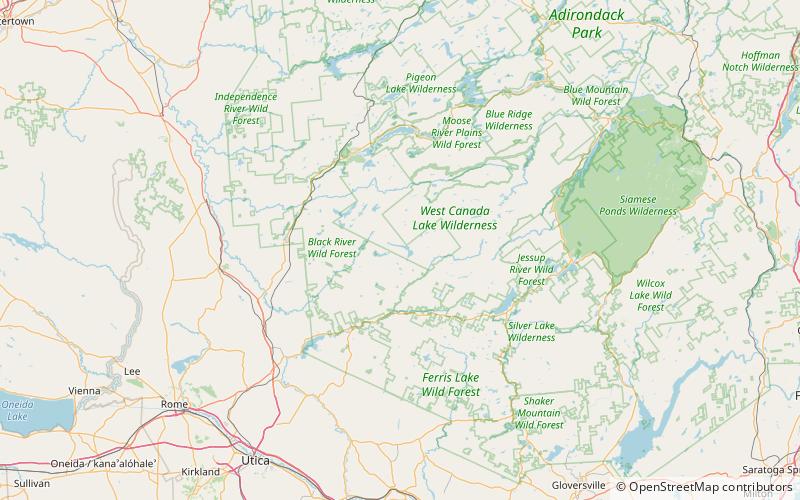
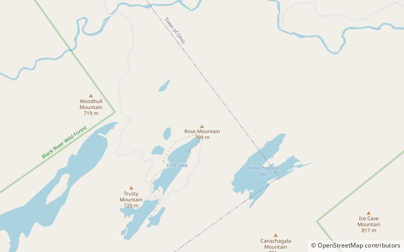
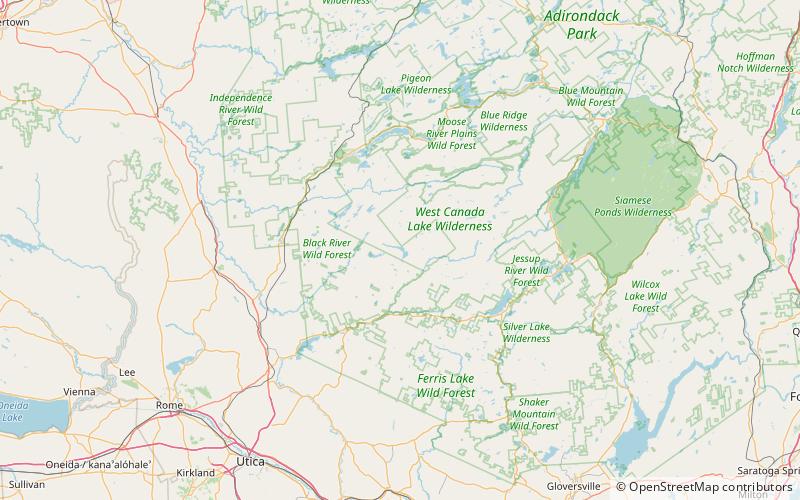
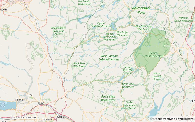
Coordinates: 43°33'22"N, 74°48'60"W
Address

West Canada Lake Wilderness Area United States

ContactAdd
Social media
Add
Day trips

Herkimer County High Point – popular in the area (distance from the attraction)

Nearby attractions include: Canachagala Lake, Stink Lake Mountain, Ice Cave Mountain, Canachagala Mountain.

  • canachagala lake location map
    5.5 miNW
  • stink lake mountain west canada lake wilderness area location map
    5.4 miN
  • ice cave mountain west canada lake wilderness area location map
    3.6 miNW
  • canachagala mountain location map
    4.7 miNW
  • raymond hills location map
    2.6 miS
  • rose mountain location map
    6.7 miNW
  • honnedaga lake adirondack park location map
    2.4 miS

Where to next? Visit new york New York region page or discover the top tourist attractions in United States.