Speedway Terrace Historic District, Memphis
Map

Map

Facts and practical information
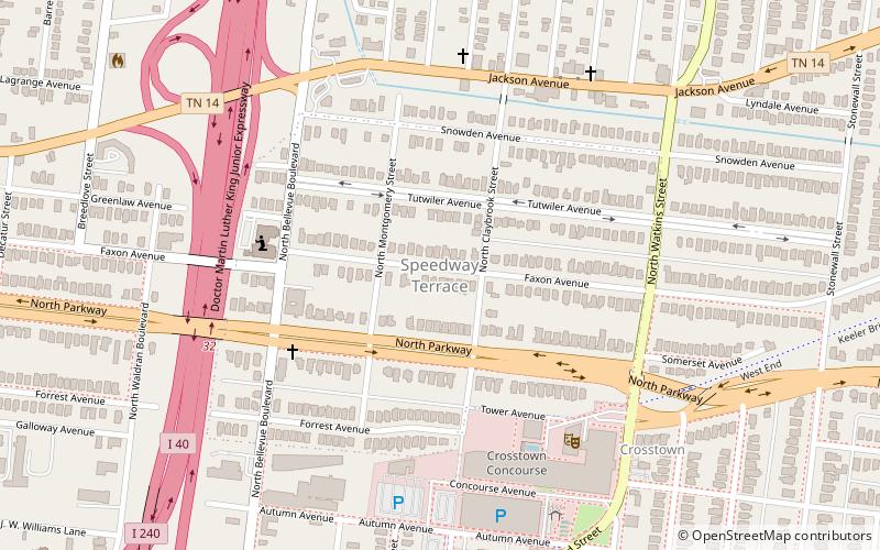
The Speedway Terrace Historic District, in Memphis, Tennessee, is a residential historic district which was listed on the National Register of Historic Places in 1999. It included 492 structures, 330 of which are principal structures that contribute to the significance of the 110-acre district and were built during an approximate 40-year period beginning around 1905. ()
Coordinates: 35°9'19"N, 90°0'59"W
Address
Midtown (Crosstown)Memphis
ContactAdd
Social media
Add
Day trips
Speedway Terrace Historic District – popular in the area (distance from the attraction)
Nearby attractions include: Sun Studio, Levitt Shell, St. Mary's Episcopal Cathedral, Memphis Brooks Museum of Art.
Frequently Asked Questions (FAQ)
Which popular attractions are close to Speedway Terrace Historic District?
Nearby attractions include Crosstown Concourse, Memphis (7 min walk), diane's Art, Memphis (18 min walk).
How to get to Speedway Terrace Historic District by public transport?
The nearest stations to Speedway Terrace Historic District:
Tram
Tram
- Cleveland Street • Lines: MATA Trolley Madison Avenue Line (29 min walk)
- Stop (30 min walk)


