Angelino Heights, Los Angeles
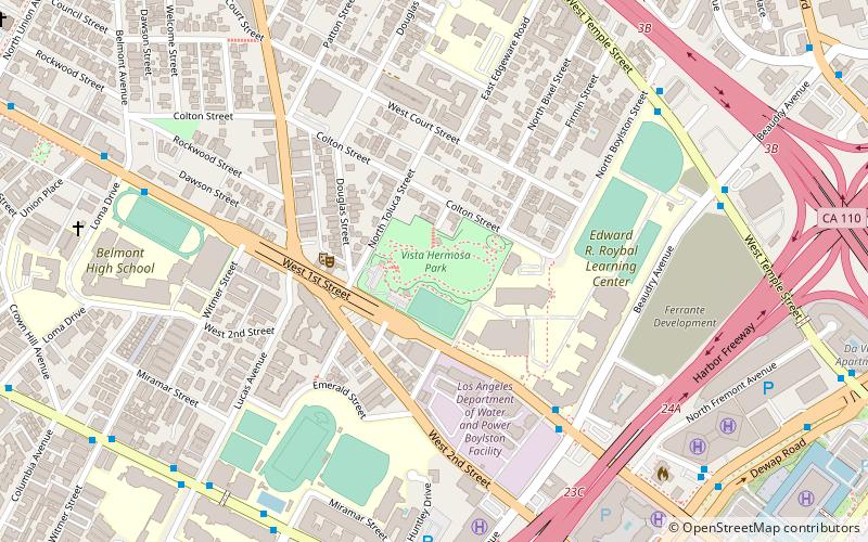
Map
Gallery
Facts and practical information
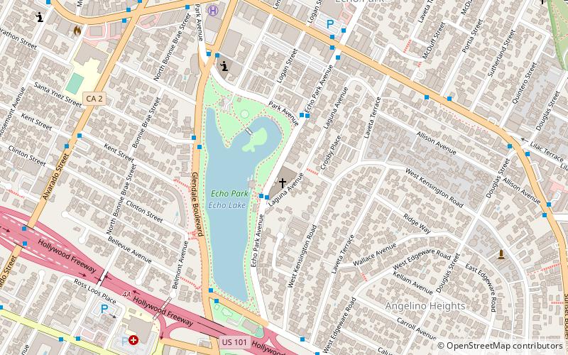
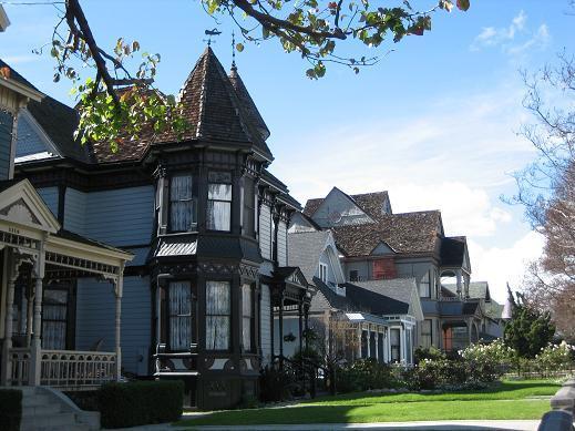
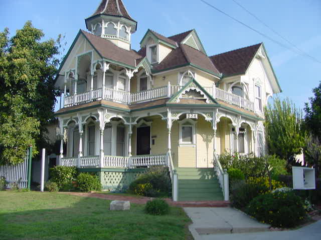
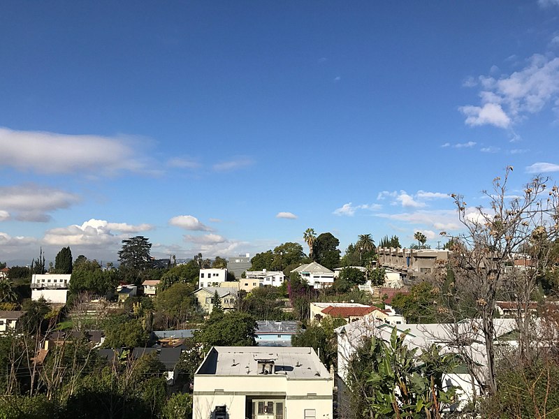
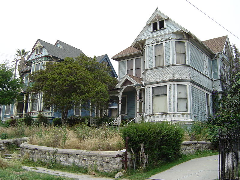
Angelino Heights is one of the oldest neighborhoods in Los Angeles, California, situated within neighboring districts of Chinatown and Echo Park. This neighborhood is known for its concentration of eclectic architectural styles from three eras: The Victorian, Turn of the Century and Revival eras. ()
Address
Central Los Angeles (Greater Echo Park Elysian)Los Angeles
ContactAdd
Social media
Add
Day trips
Angelino Heights – popular in the area (distance from the attraction)
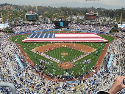
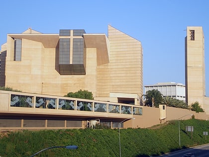
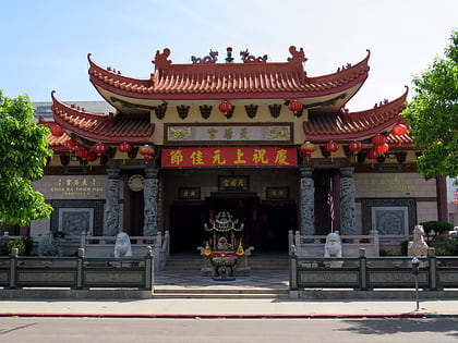
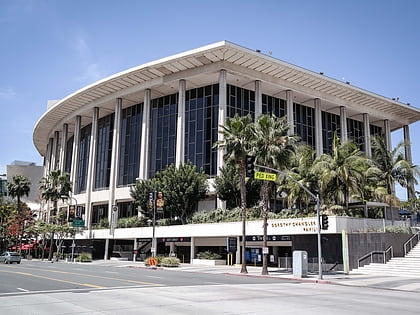
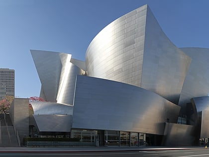
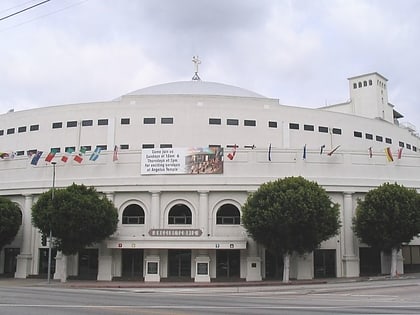
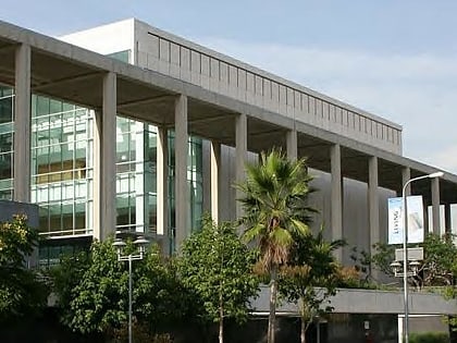
Nearby attractions include: The Echo, Dodger Stadium, Cathedral of Our Lady of the Angels, Thien Hau Temple.
Frequently Asked Questions (FAQ)
Which popular attractions are close to Angelino Heights?
Nearby attractions include Carroll Avenue, Los Angeles (2 min walk), Foy House, Los Angeles (2 min walk), SC Geier House, Los Angeles (4 min walk), Neutra/Maxwell House, Los Angeles (5 min walk).
How to get to Angelino Heights by public transport?
The nearest stations to Angelino Heights:
Bus
Light rail
Metro
Train
Bus
- Temple & Douglas • Lines: 10 (7 min walk)
- Sunset & Vin Scully • Lines: 4 (7 min walk)
Light rail
- Chinatown • Lines: L (30 min walk)
- Union Station • Lines: L (39 min walk)
Metro
- Civic Center/Grand Park • Lines: B, D (30 min walk)
- Union Station • Lines: B, D (39 min walk)
Train
- Los Angeles Union Station (40 min walk)


 Metro & Regional Rail