Westbrook College Historic District, Portland
Map

Map

Facts and practical information
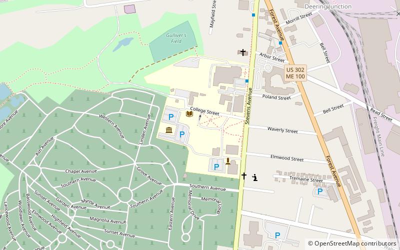
The Westbrook College Historic District is a historic district in the Deering neighborhood of Portland, Maine. It is centered on the campus of the former Westbrook College, founded in 1831 as the nation's first coeducational boarding school. The college merged with the University of New England in 1996. The district, which includes six buildings constructed between 1833 and 1952, was added to the National Register of Historic Places in 1977. ()
Coordinates: 43°41'0"N, 70°17'45"W
Address
RivertonPortland
ContactAdd
Social media
Add
Day trips
Westbrook College Historic District – popular in the area (distance from the attraction)
Nearby attractions include: Baxter Woods, Evergreen Cemetery, Shaarey Tphiloh, Fore River Sanctuary.
Frequently Asked Questions (FAQ)
Which popular attractions are close to Westbrook College Historic District?
Nearby attractions include Evergreen Cemetery, Portland (8 min walk), Baxter Woods, Portland (14 min walk), Deering Center, Portland (17 min walk), F.O.J. Smith Tomb, Portland (21 min walk).
How to get to Westbrook College Historic District by public transport?
The nearest stations to Westbrook College Historic District:
Bus
Bus
- 85 • Lines: Hsk (30 min walk)


