Wrigley Park, Paterson

Map
Facts and practical information
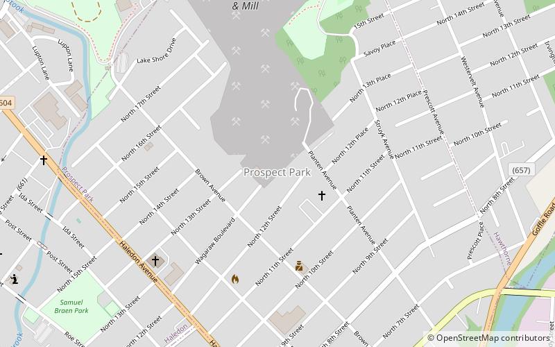
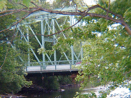
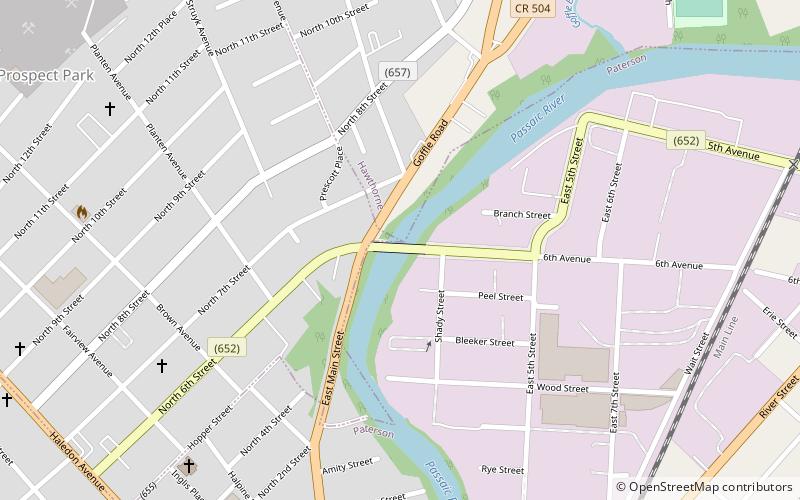
Wrigley Park, also called Fourth Ward, is a neighborhood around a namesake park located north of Broadway in Paterson, New Jersey. It was named for a Paterson paper manufacturing family. ()
Coordinates: 40°55'26"N, 74°9'32"W
Address
Wrigley ParkPaterson
ContactAdd
Social media
Add
Day trips
Wrigley Park – popular in the area (distance from the attraction)
Nearby attractions include: Great Falls, Center City Mall, Paterson City Hall, Cathedral of St. John the Baptist.
Frequently Asked Questions (FAQ)
Which popular attractions are close to Wrigley Park?
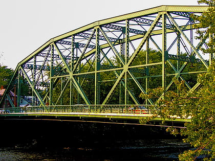
Nearby attractions include Straight Street Bridge, Paterson (11 min walk), Danforth Memorial Library, Paterson (13 min walk), Arch Street Bridge, Paterson (15 min walk), Passaic County Community College, Paterson (18 min walk).
How to get to Wrigley Park by public transport?
The nearest stations to Wrigley Park:
Train
Bus
Train
- Paterson (20 min walk)
Bus
- Broadway Bus Terminal (23 min walk)

