Burns Square Historic District, Sarasota
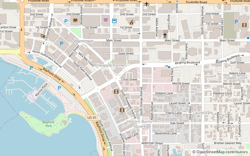
Map

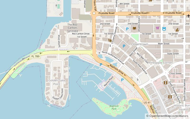
Map

Facts and practical information
Burns Square Historic District is a historic district located in Sarasota, Florida, United States. The area runs from Ringling Boulevard to Mound Avenue along South Pineapple and South Orange Avenues. Burns Square is bound by Laurel Park Historic District to the east, Palm Avenue residential neighborhood to the west, and Hudson Bayou to the south. ()
Coordinates: 27°20'3"N, 82°32'23"W
Address
Downtown SarasotaSarasota
ContactAdd
Social media
Add
Day trips
Burns Square Historic District – popular in the area (distance from the attraction)
Nearby attractions include: Marie Selby Botanical Gardens, Sarasota Opera House, Van Wezel Performing Arts Hall, Selby Public Library.
Frequently Asked Questions (FAQ)
Which popular attractions are close to Burns Square Historic District?
Nearby attractions include Downtown Sarasota Historic District, Sarasota (5 min walk), Palm Avenue Fine Art, Sarasota (7 min walk), Sarasota Opera House, Sarasota (8 min walk), Selby Public Library, Sarasota (9 min walk).


