Speer, Denver
Map
Facts and practical information
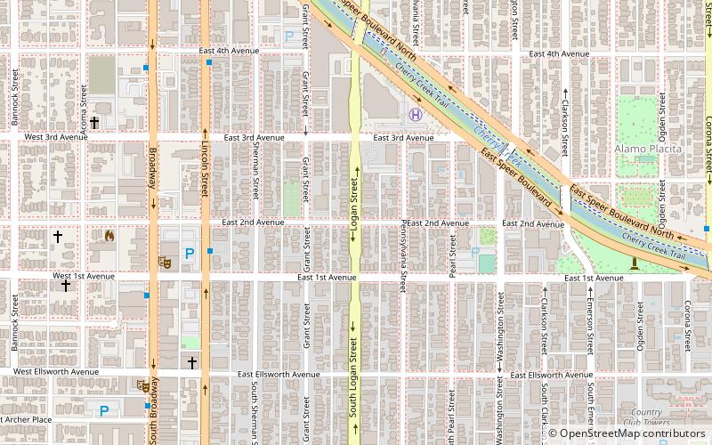
Speer is the official name for the Denver neighborhood bounded by 7th Avenue, Broadway, Alameda Avenue and Downing Street. The northeast portion northeast of Speer Boulevard is generally referred to as Alamo Placita due to a local park and historic district of this name. ()
Coordinates: 39°43'10"N, 104°58'57"W
Address
Central Denver (Speer)Denver
ContactAdd
Social media
Add
Getting there by public transportation
Public transportation stops near this location
- Bus
- Light rail
 Bus
Bus
- Calculate routeLincoln Street & 1st Avenue 5 min walk
- Calculate routeBroadway & 4th Avenue 9 min walk
- Calculate routeAlameda 24 min walk
Day trips


Frequently Asked Questions (FAQ)
Which popular attractions are close to Speer?
Nearby attractions include Mayan Theater, Denver (7 min walk), Hi-Dive Denver, Denver (10 min walk), Alamo Placita Park, Denver (10 min walk), Alamo Placita, Denver (10 min walk).
How to get to Speer by public transport?
The nearest stations to Speer:
Bus
Light rail
Bus
- Lincoln Street & 1st Avenue • Lines: (5 min walk)
- Broadway & 4th Avenue • Lines: (9 min walk)
Light rail
- Alameda • Lines: C, D, E, F, H (24 min walk)