National Library of Education, Washington D.C.
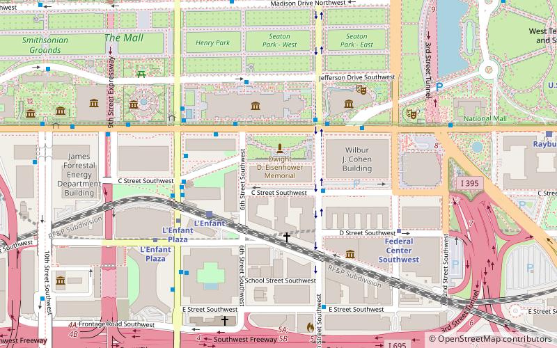
Map
Facts and practical information
The National Library of Education is a library in the United States serving as a primary resource center for education information. The library provides collections and information services to the public, as well as to the education community and other government agencies on current and historical education programs, activities and publications of the U.S. Department of Education. The library was established in 1995. ()
Coordinates: 38°53'11"N, 77°1'8"W
Address
Southwest Washington (Southwest Employment Area)Washington D.C.
ContactAdd
Social media
Add
Day trips
National Library of Education – popular in the area (distance from the attraction)
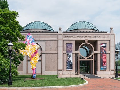
Nearby attractions include: National Gallery of Art, National Air and Space Museum, National Mall, National Museum of African Art.
Frequently Asked Questions (FAQ)
Which popular attractions are close to National Library of Education?
Nearby attractions include Phoebe Waterman Haas Public Observatory, Washington D.C. (3 min walk), National Air and Space Museum, Washington D.C. (4 min walk), Mary E. Switzer Memorial Building, Washington D.C. (4 min walk), Smithsonian Institution Archives, Washington D.C. (4 min walk).
How to get to National Library of Education by public transport?
The nearest stations to National Library of Education:
Train
Metro
Bus
Tram
Train
- L'Enfant (4 min walk)
- Rayburn (12 min walk)
Metro
- L'Enfant Plaza • Lines: Bl, Gr, Or, Sv, Yl (6 min walk)
- Federal Center Southwest • Lines: Bl, Or, Sv (6 min walk)
Bus
- 4th St & N St SW • Lines: 74 (22 min walk)
- FlixBus Washington Union Station • Lines: 2601, 2602, 2668, N2610 (26 min walk)
Tram
- Union Station • Lines: H Street/Benning Road Streetcar (32 min walk)
- H Street & 5th Street Northeast • Lines: H Street/Benning Road Streetcar (36 min walk)


