Tenth Street, Atlanta
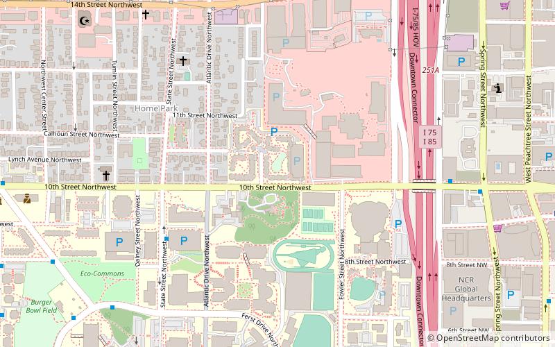
Map
Facts and practical information
Tenth Street is a street in Midtown Atlanta, Georgia. ()
Coordinates: 33°46'55"N, 84°23'44"W
Address
251 10th Street NorthwestNortheast Atlanta (Home Park)Atlanta
ContactAdd
Social media
Add
Getting there by public transportation
Public transportation stops near this location
- Metro
- Bus
 Metro
Metro
- Calculate routeMidtown 14 min walk
- Calculate routeArts Center 18 min walk
- Calculate routeNorth Avenue 21 min walk
- Calculate routeCivic Center 30 min walk
- Calculate routeVillage Smoke 22 min walk
Day trips


Frequently Asked Questions (FAQ)
Which popular attractions are close to Tenth Street?
Nearby attractions include McCamish Pavilion, Atlanta (5 min walk), Al-Farooq Masjid of Atlanta, Atlanta (12 min walk), Robert C. Williams Paper Museum, Atlanta (12 min walk), Burger Bowl Field, Atlanta (13 min walk).
How to get to Tenth Street by public transport?
The nearest stations to Tenth Street:
Metro
Bus
Metro
- Midtown • Lines: Gold, Red (14 min walk)
- Arts Center • Lines: Gold, Red (18 min walk)
Bus
- Village Smoke • Lines: Blue Route (22 min walk)