Prospect Heights Historic District, Sea Gate
Map
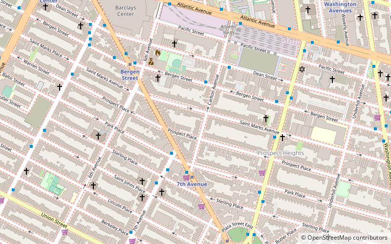
Map

Facts and practical information
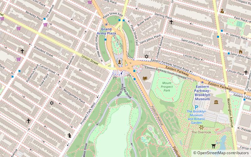
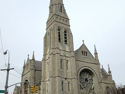
Prospect Heights Historic District is a national historic district in Prospect Heights, Brooklyn, New York City. It consists of 305 contributing buildings built between 1865 and about 1900. The district is almost exclusively residential and includes a variety of single family rowhouses and multiple dwellings. They are in a variety of architectural styles popular in the late-19th century. ()
Coordinates: 40°40'44"N, 73°58'20"W
Address
Northwestern Brooklyn (Prospect Heights)Sea Gate
ContactAdd
Social media
Add
Day trips
Prospect Heights Historic District – popular in the area (distance from the attraction)
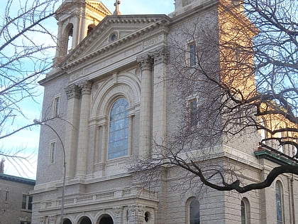
Nearby attractions include: Barclays Center, Atlantic Terminal, Church of St. Luke and St. Matthew, Roulette.
Frequently Asked Questions (FAQ)
Which popular attractions are close to Prospect Heights Historic District?
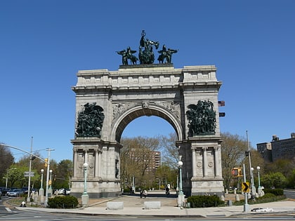
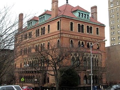
Nearby attractions include Prospect Heights, Sea Gate (6 min walk), Public School 9 and Public School 9 Annex, Sea Gate (6 min walk), Montauk Club, New York City (7 min walk), Barclays Center, New York City (8 min walk).
How to get to Prospect Heights Historic District by public transport?
The nearest stations to Prospect Heights Historic District:
Metro
Train
Bus
Metro
- 7th Avenue • Lines: B, Q (4 min walk)
- Bergen Street • Lines: 2, 3, 4 (6 min walk)
Train
- Atlantic Terminal (13 min walk)
Bus
- 9th Street & 6th Avenue • Lines: B61 (25 min walk)
- Myrtle Avenue & Carlton Avenue • Lines: B54 (26 min walk)


