Oxford–Crown Historic District, Worcester
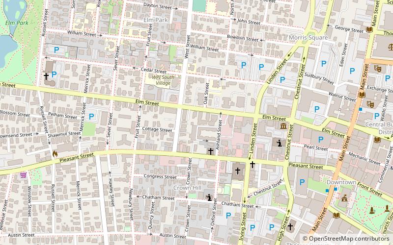
Map

Map

Facts and practical information
Oxford–Crown Historic District is a historic district roughly bounded by Chatham, Congress, Crown, Pleasant, Oxford Streets and Oxford Place in Worcester, Massachusetts. ()
Coordinates: 42°15'54"N, 71°48'30"W
Address
Central City (Institution Park)Worcester
ContactAdd
Social media
Add
Day trips
Oxford–Crown Historic District – popular in the area (distance from the attraction)
Nearby attractions include: DCU Center, Worcester Art Museum, Armsby Abbey, Worcester City Hall and Common.
Frequently Asked Questions (FAQ)
Which popular attractions are close to Oxford–Crown Historic District?
Nearby attractions include Alexander Marsh House, Worcester (2 min walk), Worcester Historical Museum, Worcester (3 min walk), Merrill Double House, Worcester (3 min walk), Joseph Davis House, Worcester (3 min walk).
How to get to Oxford–Crown Historic District by public transport?
The nearest stations to Oxford–Crown Historic District:
Bus
Train
Bus
- WRTA Transportation Hub (17 min walk)
- Worcester Bus Station (18 min walk)
Train
- Worcester (19 min walk)


