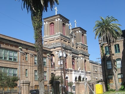
Faubourg Livaudais, New Orleans

Map
Facts and practical information
Faubourg Livaudais is a name for a neighborhood in Central New Orleans that some people have re-adopted based upon the name of a former plantation that was in the area. The neighborhood is largely residential, and contains mostly modest sized homes. ()
Coordinates: 29°56'10"N, 90°5'10"W
Address
Central City - Garden District (Central City)New Orleans
ContactAdd
Social media
Add
Day trips
Faubourg Livaudais – popular in the area (distance from the attraction)
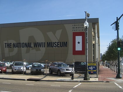
Nearby attractions include: The National WWII Museum, Caesars Superdome, Smoothie King Center, Ogden Museum of Southern Art.
Frequently Asked Questions (FAQ)
Which popular attractions are close to Faubourg Livaudais?
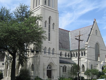
Nearby attractions include Anshe Sfard, New Orleans (7 min walk), Central City, New Orleans (10 min walk), Save Our Cemeteries, New Orleans (11 min walk), Christ Church Cathedral, New Orleans (11 min walk).
How to get to Faubourg Livaudais by public transport?
The nearest stations to Faubourg Livaudais:
Tram
Bus
Train
Tram
- Saint Charles at First Street • Lines: 12 (8 min walk)
Bus
- New Orleans Union Passenger Terminal (22 min walk)
Train
- New Orleans (22 min walk)
