Pastures, Albany
Map

Gallery

Facts and practical information
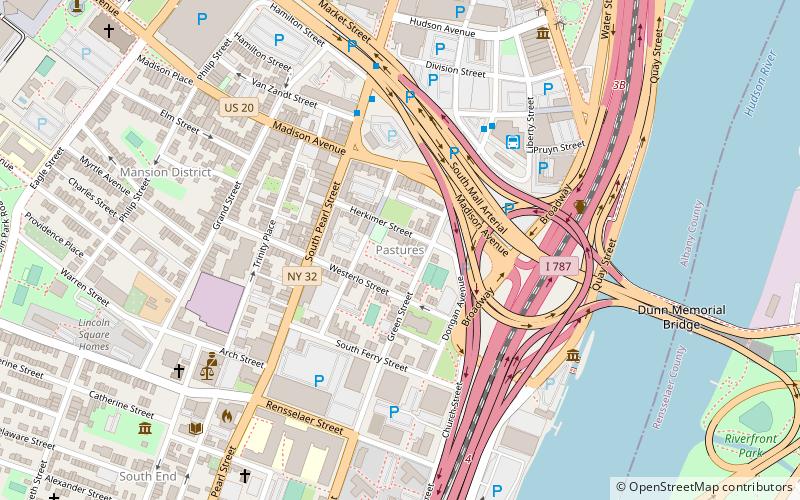
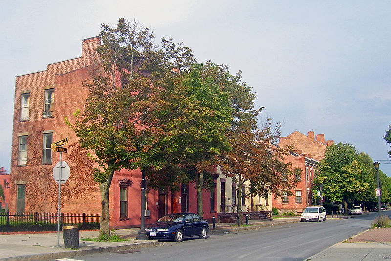
The Pastures Historic District is a residential neighborhood located south of downtown Albany, New York, United States. Its 17 acres include all or part of a 13-block area. ()
Coordinates: 42°38'39"N, 73°45'13"W
Address
PasturesAlbany
ContactAdd
Social media
Add
Day trips
Pastures – popular in the area (distance from the attraction)
Nearby attractions include: Times Union Center, The Egg Building, New York State Fallen Firefighters Memorial, New York State Museum.
Frequently Asked Questions (FAQ)
Which popular attractions are close to Pastures?
Nearby attractions include Grand Street Community Arts, Albany (5 min walk), Dutch Apple Cruises, Albany (6 min walk), USS Slater, Albany (6 min walk), 48 Hudson Avenue, Albany (7 min walk).
How to get to Pastures by public transport?
The nearest stations to Pastures:
Bus
Train
Bus
- Albany Bus Terminal • Lines: 905 (5 min walk)
- Greyhound/Trailways Bus Terminal (5 min walk)
Train
- Albany-Rensselaer (17 min walk)


