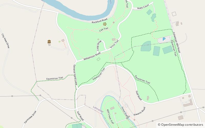
Park Site, Lancaster
Map

Map

Facts and practical information
The Park Site, designated 36LA96, is a historic archaeological site located in West Lampeter Township, Lancaster County, Pennsylvania, just south of the city of Lancaster. The site was excavated and assessed in 1979. The site features a Susquehannock burial site dated to the early 18th century and European-made artifacts. ()
Coordinates: 40°1'7"N, 76°17'4"W
Address
Lancaster
ContactAdd
Social media
Add
Day trips
Park Site – popular in the area (distance from the attraction)
Nearby attractions include: Central Market, St. Mary's Church, Historic Rock Ford, Woodward Hill Cemetery.
Frequently Asked Questions (FAQ)
How to get to Park Site by public transport?
The nearest stations to Park Site:
Bus
Bus
- Chesapeake and South Franklin • Lines: 1 (23 min walk)
- South Broad and Circle Avenue • Lines: 1 (26 min walk)


