Park Street Bridge, Alameda
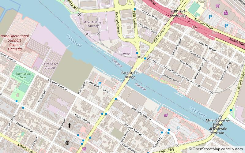
Map

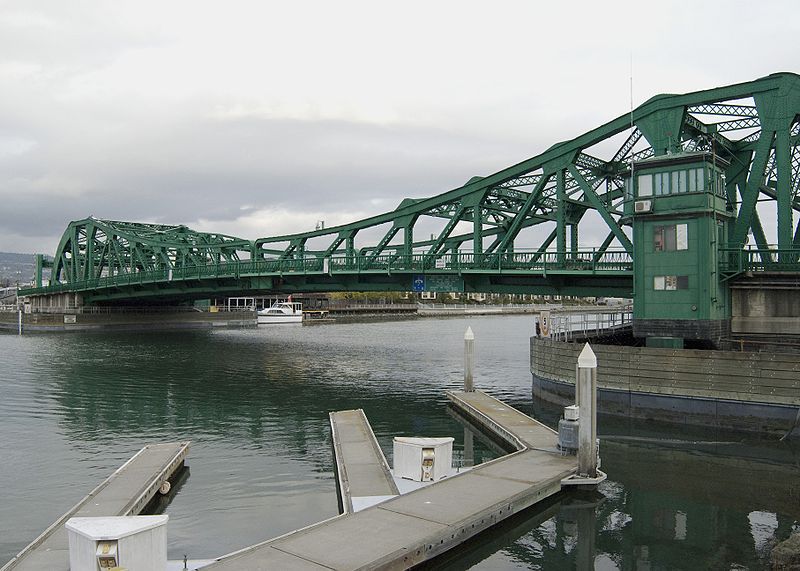
Gallery

Facts and practical information
The Park Street Bridge is a double-leaf bascule drawbridge spanning 372 feet of the Oakland Estuary in the San Francisco Bay Area. It links the cities of Oakland and Alameda. In a year, the bridge is opened approximately 1700 times and carries approximately 40,000 vehicles per work day. It was built when the Oakland Estuary was trenched, converting Alameda from a peninsula to an island. ()
Opened: 1893 (133 years ago)Coordinates: 37°46'18"N, 122°14'13"W
Day trips
Park Street Bridge – popular in the area (distance from the attraction)
Nearby attractions include: Subpar Miniature Golf, Fruitvale Bridge, Alameda Museum, Basilica of St. Joseph.
Frequently Asked Questions (FAQ)
Which popular attractions are close to Park Street Bridge?
Nearby attractions include Jingletown, Oakland (7 min walk), Fruitvale Bridge, Oakland (11 min walk), Alameda Free Library, Alameda (12 min walk), Norton Factory Studios, Oakland (14 min walk).
How to get to Park Street Bridge by public transport?
The nearest stations to Park Street Bridge:
Bus
Metro
Bus
- Park Street & Blanding Avenue • Lines: 20, 21 (3 min walk)
- 23rd Avenue & 29th Avenue • Lines: 20, 21 (3 min walk)
Metro
- Fruitvale • Lines: Blue, Green, Orange (19 min walk)


