Parkersburg–Belpre Bridge, Parkersburg
Map

Map

Facts and practical information
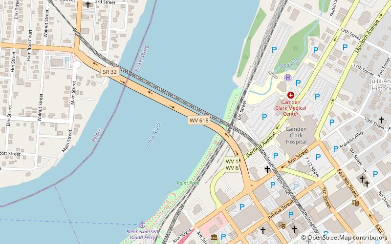
The Parkersburg–Belpre Bridge is a four-lane cantilever bridge that connects Parkersburg, West Virginia to Belpre, Ohio across the Ohio River. The bridge was completed in 1980. The bridge had been signed U.S. Route 50 until June 13, 2008, when that highway was re-routed to the Blennerhassett Island Bridge a few miles to the west, as part of the completion of the Corridor D project around Parkersburg. The American Discovery Trail uses the bridge to cross the Ohio River. ()
Opened: 1980 (46 years ago)Coordinates: 39°16'12"N, 81°33'52"W
Day trips
Parkersburg–Belpre Bridge – popular in the area (distance from the attraction)
Nearby attractions include: Smoot Theatre, St. Francis Xavier Church, Henry Logan Memorial AME Church, Smith Building.
Frequently Asked Questions (FAQ)
Which popular attractions are close to Parkersburg–Belpre Bridge?
Nearby attractions include Parkersburg Bridge, Parkersburg (1 min walk), Henry Logan Memorial AME Church, Parkersburg (6 min walk), W.H. Smith Hardware Company Building, Parkersburg (7 min walk), George Neale Jr. House, Parkersburg (8 min walk).


