3rd Street Flats, Reno

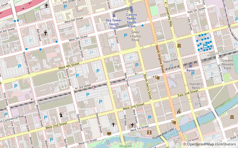
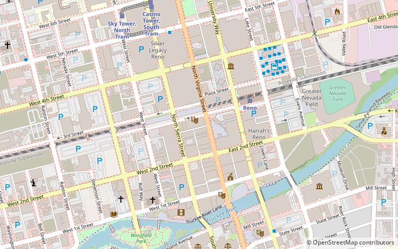
Map
Facts and practical information
3rd Street Flats is a mixed-use development project located in downtown Reno, Nevada. It includes 94 apartment units, retail space, and a restaurant. It previously operated as Kings Inn, a hotel and casino. The hotel opened in September 1974, and the casino opened the next year. The casino closed in 1982, following financial issues, and the hotel closed on July 12, 1986, because of fire code violations. Although there were plans to reopen the building, it ultimately sat vacant for the next three decades. ()
Coordinates: 39°31'42"N, 119°49'1"W
Address
Downtown RenoReno
ContactAdd
Social media
Add
Day trips
3rd Street Flats – popular in the area (distance from the attraction)
Nearby attractions include: National Bowling Stadium, Reno Events Center, Circus Circus Reno, Eldorado Resort Casino.
Frequently Asked Questions (FAQ)
Which popular attractions are close to 3rd Street Flats?
Nearby attractions include Sands Regency, Reno (3 min walk), Francovich House, Reno (3 min walk), Eldorado Resort Casino, Reno (4 min walk), Sundowner, Reno (4 min walk).
How to get to 3rd Street Flats by public transport?
The nearest stations to 3rd Street Flats:
Bus
Train
Bus
- Reno Downtown • Lines: 2064 (6 min walk)
- Bay R • Lines: 11, 12, 3Cl, 7, 9 (9 min walk)
Train
- Reno (8 min walk)
- Idlewild Park Train Ride (25 min walk)


