Old Statehouse Historic District, Frankfort

Map
Facts and practical information
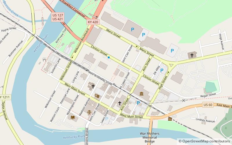
The Old Statehouse Historic District is an area in downtown Frankfort, Kentucky near the old State Capitol and the Old Governors Mansion. The area is bounded by Broadway Street, Blanton Street, St. Clair Street, Ann Street and High Street and contains 74 historic buildings. The historic district was added to the United States National Register of Historic Places in 1980. ()
Coordinates: 38°12'1"N, 84°52'36"W
Address
Frankfort
ContactAdd
Social media
Add
Day trips
Old Statehouse Historic District – popular in the area (distance from the attraction)
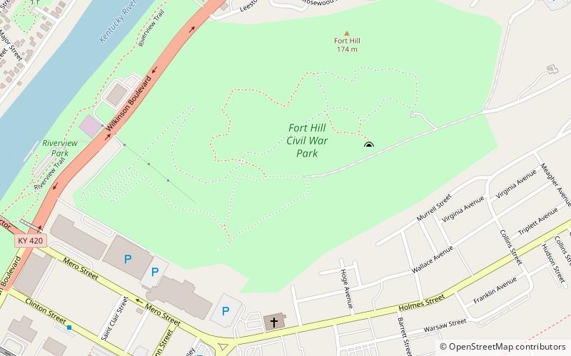
Nearby attractions include: Kentucky Governor's Mansion, Old State Capitol, Old Governor's Mansion, Fort Hill.
Frequently Asked Questions (FAQ)
Which popular attractions are close to Old Statehouse Historic District?
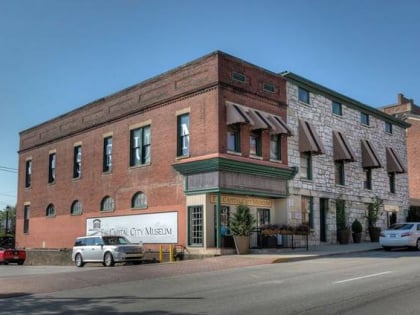
Nearby attractions include Old State Capitol, Frankfort (1 min walk), Capital City Museum, Frankfort (4 min walk), Kentucky Historical Society, Frankfort (4 min walk), Church of the Ascension, Frankfort (4 min walk).


