Allen Water Station, Allen
Map

Map

Facts and practical information
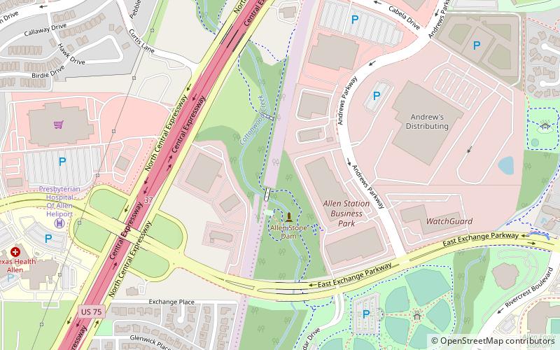
The Allen Water Station is a district of structures representing different items built in the 1870s by the Houston and Texas Central Railroad at the Allen Depot water stop. The site includes six contributing structures: the Water Station site, the 1874 Dam, a section of railroad tracks and bed, a 1910 railroad bridge, and the ruins of the water tank and pumping facility. ()
Coordinates: 33°7'6"N, 96°39'56"W
Address
Allen
ContactAdd
Social media
Add
Day trips
Allen Water Station – popular in the area (distance from the attraction)
Nearby attractions include: Allen Event Center, Eagle Stadium, St. Jude Catholic Church, Hydrous at Allen Station.
Frequently Asked Questions (FAQ)
Which popular attractions are close to Allen Water Station?
Nearby attractions include Hydrous at Allen Station, Allen (16 min walk), Allen Event Center, Allen (20 min walk), Radha Krishna Temple, Allen (23 min walk), St. Jude Catholic Church, Allen (23 min walk).


