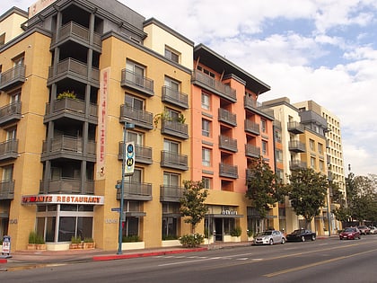
Laurel Canyon Boulevard, Burbank
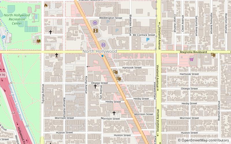
Map
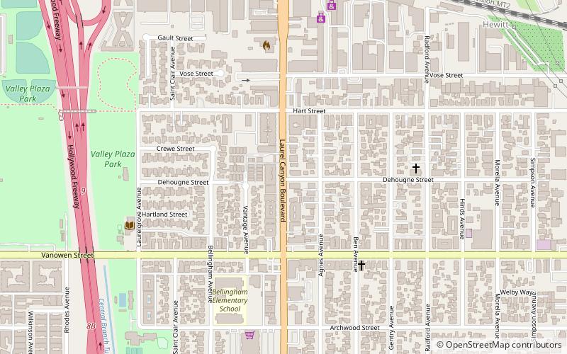
Map

Facts and practical information
Laurel Canyon Boulevard is a major street in the city of Los Angeles. It starts off at Polk Street in Sylmar in the northern San Fernando Valley near the junction of the San Diego and the Golden State) freeways. Laurel Canyon Boulevard bypasses the city of San Fernando to the west, running parallel to I-5 in the vicinity of Pacoima and Arleta. The portion through Sun Valley passes through rock quarries and a great deal of open space. ()
Address
North Hollywood (North Hollywood North East)Burbank
ContactAdd
Social media
Add
Day trips
Laurel Canyon Boulevard – popular in the area (distance from the attraction)
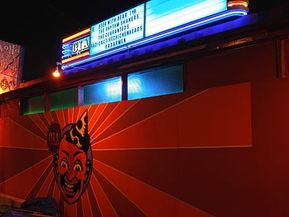
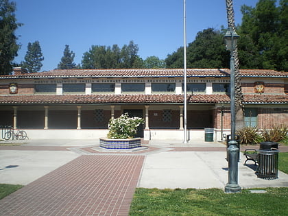
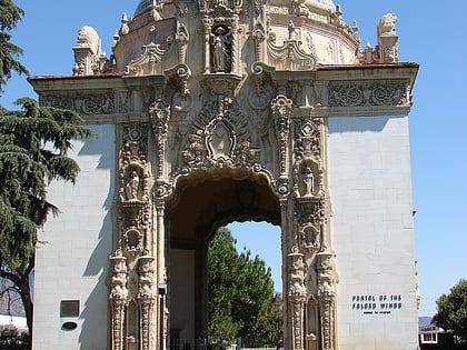
Nearby attractions include: California Institute of Abnormalarts, Amelia Earheart, ACME NoHo, Portal of the Folded Wings Shrine to Aviation.
Frequently Asked Questions (FAQ)
How to get to Laurel Canyon Boulevard by public transport?
The nearest stations to Laurel Canyon Boulevard:
Bus
Bus
- Los Angeles • Lines: 2034 (31 min walk)

