Arlington Hall, Arlington

Map
Facts and practical information
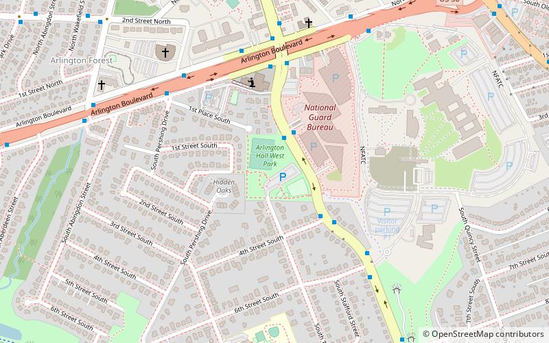
Arlington Hall is a historic building in Arlington, Virginia, originally a girls' school and later the headquarters of the United States Army's Signal Intelligence Service cryptography effort during World War II. The site presently houses the George P. Shultz National Foreign Affairs Training Center, and the Army National Guard's Herbert R. Temple, Jr. Readiness Center. It is located on Arlington Boulevard between S. Glebe Road and S. George Mason Drive. ()
Elevation: 230 ft a.s.l.Coordinates: 38°51'58"N, 77°6'25"W
Address
290 South Taylor StreetSouth Arlington (Barcroft)Arlington
ContactAdd
Social media
Add
Day trips
Arlington Hall – popular in the area (distance from the attraction)
Nearby attractions include: Kettler Capitals Iceplex, Ballston Common Mall, Cinema 'N' Drafthouse, Glebe Center.
Frequently Asked Questions (FAQ)
Which popular attractions are close to Arlington Hall?
Nearby attractions include Unitarian Universalist Church of Arlington, Arlington (4 min walk), National Landing, Arlington (8 min walk), Cathedral of Saint Thomas More, Arlington (10 min walk), Buckingham Historic District, Arlington (16 min walk).
How to get to Arlington Hall by public transport?
The nearest stations to Arlington Hall:
Bus
Metro
Bus
- S George Mason Dr at National Guard Entrance • Lines: 72 (2 min walk)
- Arlington Blvd & George Mason Dr • Lines: 4A (5 min walk)
Metro
- Ballston–MU • Lines: Or, Sv (30 min walk)
- Virginia Square–GMU • Lines: Or, Sv (31 min walk)


