Pasque Island
Map

Map

Facts and practical information
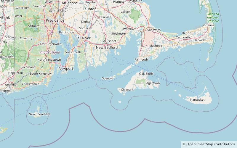
Pasque Island is one of the Elizabeth Islands of Dukes County, Massachusetts, United States. It lies between Nashawena Island to the west and Naushon Island to the east. The island has a land area of 3.45 km² and had a population of 2 persons as of the 2000 census. The island is part of the town of Gosnold, Massachusetts. ()
Coordinates: 41°27'0"N, 70°49'35"W
Location
Massachusetts
ContactAdd
Social media
Add
Day trips
Pasque Island – popular in the area (distance from the attraction)
Nearby attractions include: Tarpaulin Cove Light, Gosnold, Menemsha Hills and The Brickyard, Penikese Island.


